Lovdal, California
Coordinates: 38°36′01″N 121°33′09″W / 38.60028°N 121.55250°W
| Lovdal | |
|---|---|
| Unincorporated community | |
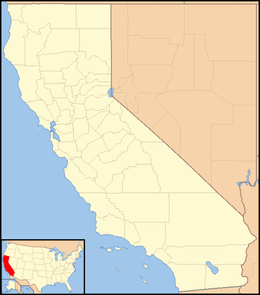 Lovdal  Lovdal Location in California | |
| Coordinates: 38°36′01″N 121°33′09″W / 38.60028°N 121.55250°W | |
| Country | United States |
| State | California |
| County | Yolo County |
| Elevation[1] | 20 ft (6 m) |
Lovdal is an unincorporated community in Yolo County, California. It lies at an elevation of 20 feet (6 m). The area is named after the Lovdal family that owned 2,800 acres (11 km2) of land in the area by 1903.[2]
The name Lovdal appears to have given to two nearby places: one on the Sacramento Northern Railroad 2.25 miles (3.6 km) north-northwest of West Sacramento, the other on the Southern Pacific Railroad 2 miles (3.2 km) west-northwest of West Sacramento.[3]
References
- ↑ U.S. Geological Survey Geographic Names Information System: Lovdal, California
- ↑ Larkey, Joann L.; Walters, Shipley (1987). "New Owners, New Enterprises". Yolo County: Land of Changing Patterns. Northridge, California: Windsor Publications, Inc. p. 48.
- ↑ Durham, David L. (1998). California's Geographic Names: A Gazetteer of Historic and Modern Names of the State. Clovis, Calif.: Word Dancer Press. p. 517. ISBN 1-884995-14-4.
Municipalities and communities of Yolo County, California, United States | ||
|---|---|---|
| Cities |  | |
| CDPs | ||
| Unincorporated communities |
| |
| Ghost towns | ||
| Footnotes | ‡This populated place also has portions in an adjacent county or counties | |
This article is issued from Wikipedia - version of the 7/5/2016. The text is available under the Creative Commons Attribution/Share Alike but additional terms may apply for the media files.