Liwaito, California
Coordinates: 38°31′20″N 121°58′15″W / 38.52222°N 121.97083°W
| Liwaito | |
|---|---|
| Former settlement | |
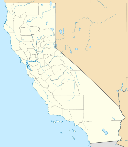 Liwaito Location in California | |
| Coordinates: 38°31′20″N 121°58′15″W / 38.52222°N 121.97083°W | |
| Country | United States |
| State | California |
| County | Yolo County |
| Elevation[1] | 135 ft (41 m) |
Liwaito (also Lewytos and Liguaytoy) is a former settlement of the Patwin branch of the Wintun tribe in Yolo County, California. The name means "waiving" in the Patwin language, and was also applied to Putah Creek.[2] It lay at an elevation of 135 feet (41 m). Its location is quite near Winters, California.[2]
References
- ↑ U.S. Geological Survey Geographic Names Information System: Liwaito, California
- 1 2 Smithsonian Institution, Bureau of American Ethnology, Handbook of American Indians North of Mexico (1906), pt. 1, p.711
Municipalities and communities of Yolo County, California, United States | ||
|---|---|---|
| Cities |  | |
| CDPs | ||
| Unincorporated communities |
| |
| Ghost towns | ||
| Footnotes | ‡This populated place also has portions in an adjacent county or counties | |
This article is issued from Wikipedia - version of the 8/12/2011. The text is available under the Creative Commons Attribution/Share Alike but additional terms may apply for the media files.