Stožec (Prachatice District)
| Stožec | |||
|---|---|---|---|
| Municipality | |||
| |||
 Stožec | |||
| Coordinates: 48°51′32″N 13°49′20″E / 48.85889°N 13.82222°ECoordinates: 48°51′32″N 13°49′20″E / 48.85889°N 13.82222°E | |||
| Country |
| ||
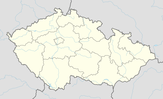
| Region | South Bohemian | ||
| District | Prachatice | ||
| Area | |||
| • Total | 104.779553 km2 (40.455612 sq mi) | ||
| Elevation | 780 m (2,560 ft) | ||
| Population (20 population_density_km2=auto) | |||
| • Total | 210 | ||
| Postal code | 384 44 | ||
| Website | http://www.stozec.cz/ | ||
.jpg)
_CoA.jpg)
Stožec is a village and municipality (obec) in Prachatice District in the South Bohemian Region of the Czech Republic.
The municipality covers an area of 104.779553 square kilometres (40.455612 sq mi), and has a population of 217 (as at 2005).
Stožec lies approximately 22 kilometres (14 mi) south-west of Prachatice, 50 km (31 mi) west of České Budějovice, and 143 km (89 mi) south of Prague.
References
This article is issued from Wikipedia - version of the 4/7/2016. The text is available under the Creative Commons Attribution/Share Alike but additional terms may apply for the media files.