Chlumany
| Chlumany | |
|---|---|
| Municipality | |
 Chlumany | |
| Coordinates: 49°3′50″N 13°57′59″E / 49.06389°N 13.96639°ECoordinates: 49°3′50″N 13°57′59″E / 49.06389°N 13.96639°E | |
| Country |
|
| Region | South Bohemian |
| District | Prachatice |
| Area | |
| • Total | 5.55 km2 (2.14 sq mi) |
| Elevation | 528 m (1,732 ft) |
| Population (2007) | |
| • Total | 315 |
| • Density | 57/km2 (150/sq mi) |
| Postal code | 384 22 |
| Website | http://chlumany.cz |
Chlumany is a village and municipality (obec) in Prachatice District in the South Bohemian Region of the Czech Republic.
The municipality covers an area of 5.55 square kilometres (2.14 sq mi), and has a population of 315 (as at 31 December 2007).
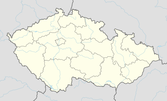
Chlumany lies approximately 7 kilometres (4 mi) north of Prachatice, 39 km (24 mi) west of České Budějovice, and 119 km (74 mi) south of Prague.
References
This article is issued from Wikipedia - version of the 11/22/2016. The text is available under the Creative Commons Attribution/Share Alike but additional terms may apply for the media files.