Windhaag bei Freistadt
| Windhaag bei Freistadt | ||
|---|---|---|
 | ||
| ||
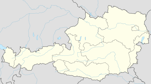 Windhaag bei Freistadt Location within Austria | ||
| Coordinates: 48°35′10″N 14°33′50″E / 48.58611°N 14.56389°ECoordinates: 48°35′10″N 14°33′50″E / 48.58611°N 14.56389°E | ||
| Country | Austria | |
| State | Upper Austria | |
| District | Freistadt | |
| Government | ||
| • Mayor | Alfred Klepatsch (ÖVP) | |
| Area | ||
| • Total | 42.9 km2 (16.6 sq mi) | |
| Elevation | 723 m (2,372 ft) | |
| Population (14 June 2016)[1] | ||
| • Total | 1,590 | |
| • Density | 37/km2 (96/sq mi) | |
| Time zone | CET (UTC+1) | |
| • Summer (DST) | CEST (UTC+2) | |
| Postal code | 4263 | |
| Area code | 07943 | |
| Vehicle registration | FR | |
| Website | www.windhaag.at | |

Windhaag bei Freistadt is a municipality in the district of Freistadt in the Austrian state of Upper Austria.
Population
| Historical population | ||
|---|---|---|
| Year | Pop. | ±% |
| 1869 | 1,685 | — |
| 1880 | 1,735 | +3.0% |
| 1890 | 1,738 | +0.2% |
| 1900 | 1,749 | +0.6% |
| 1910 | 1,841 | +5.3% |
| 1923 | 1,809 | −1.7% |
| 1934 | 1,855 | +2.5% |
| 1939 | 1,823 | −1.7% |
| 1951 | 1,829 | +0.3% |
| 1961 | 1,898 | +3.8% |
| 1971 | 1,886 | −0.6% |
| 1981 | 1,873 | −0.7% |
| 1991 | 1,848 | −1.3% |
| 2001 | 1,734 | −6.2% |
| 2012 | 1,641 | −5.4% |
References
| Wikimedia Commons has media related to Windhaag bei Freistadt. |
This article is issued from Wikipedia - version of the 2/24/2014. The text is available under the Creative Commons Attribution/Share Alike but additional terms may apply for the media files.