Trammel, Virginia
| Trammel, Virginia | |
|---|---|
| Unincorporated community | |
 Trammel  Trammel | |
| Coordinates: 37°00′52″N 82°17′38″W / 37.01444°N 82.29389°WCoordinates: 37°00′52″N 82°17′38″W / 37.01444°N 82.29389°W | |
| Country | United States |
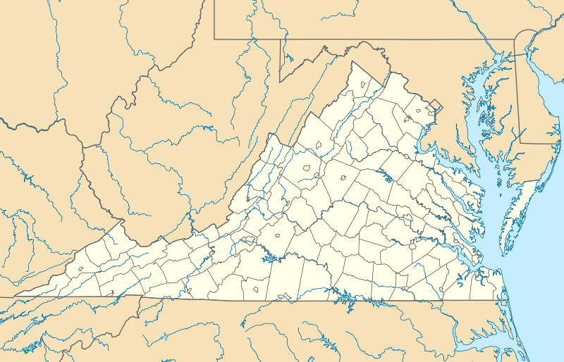
| State | Virginia |
| County | Dickenson |
| Elevation | 1,749 ft (533 m) |
| Time zone | Eastern (EST) (UTC-5) |
| • Summer (DST) | EDT (UTC-4) |
| ZIP code | 24237 |
| Area code(s) | 276 |
| GNIS feature ID | 1477119[1] |
Trammel is an unincorporated community in Dickenson County, Virginia, United States. Trammel is located along Virginia State Route 63 7.6 miles (12.2 km) north of St. Paul. Trammel had a post office with ZIP code 24289 from October 8, 1919, to November 16, 2002; the community is now part of ZIP code 24237.[2][3]
Trammel was first settled by a farmer named Hiram Keith. The first school in Trammel, known as the Delphia School, opened in 1898; a new schoolhouse was built for the school in 1924. The Carolina, Clinchfield and Ohio Railway began building a line through Dickenson County in 1913 and drove the last spike in Trammel in 1915; service to the community began in 1916.[4]
Coal mining was the primary industry at Trammel in the 1920s.[5]
References
- ↑ "Trammel". Geographic Names Information System. United States Geological Survey.
- ↑ United States Postal Service (2012). "USPS - Look Up a ZIP Code". Retrieved 2012-02-15.
- ↑ "Postmaster Finder - Post Offices by ZIP Code". United States Postal Service. Retrieved December 20, 2012.
- ↑ Reedy, Dennis (1994). School and Community History of Dickenson County, Virginia. The Overmountain Press. p. 508. ISBN 9781570720109.
- ↑ Tennis, Joe (2004). Southwest Virginia Crossroads: An Almanac of Place Names and Places to See. The Overmountain Press. p. 11. ISBN 978-1-57072-256-1.
Municipalities and communities of Dickenson County, Virginia, United States | ||
|---|---|---|
| Towns | 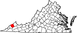 | |
| CDP | ||
| Unincorporated communities | ||
| Footnotes | ‡This populated place also has portions in an adjacent county or counties | |
This article is issued from Wikipedia - version of the 11/4/2016. The text is available under the Creative Commons Attribution/Share Alike but additional terms may apply for the media files.