Santa Terezinha de Goiás
| Santa Terezinha de Goiás | |
|---|---|
| Municipality | |
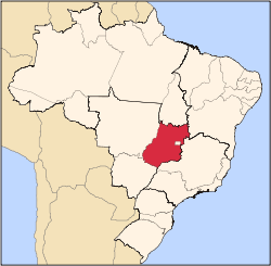
 Location in Goiás state | |
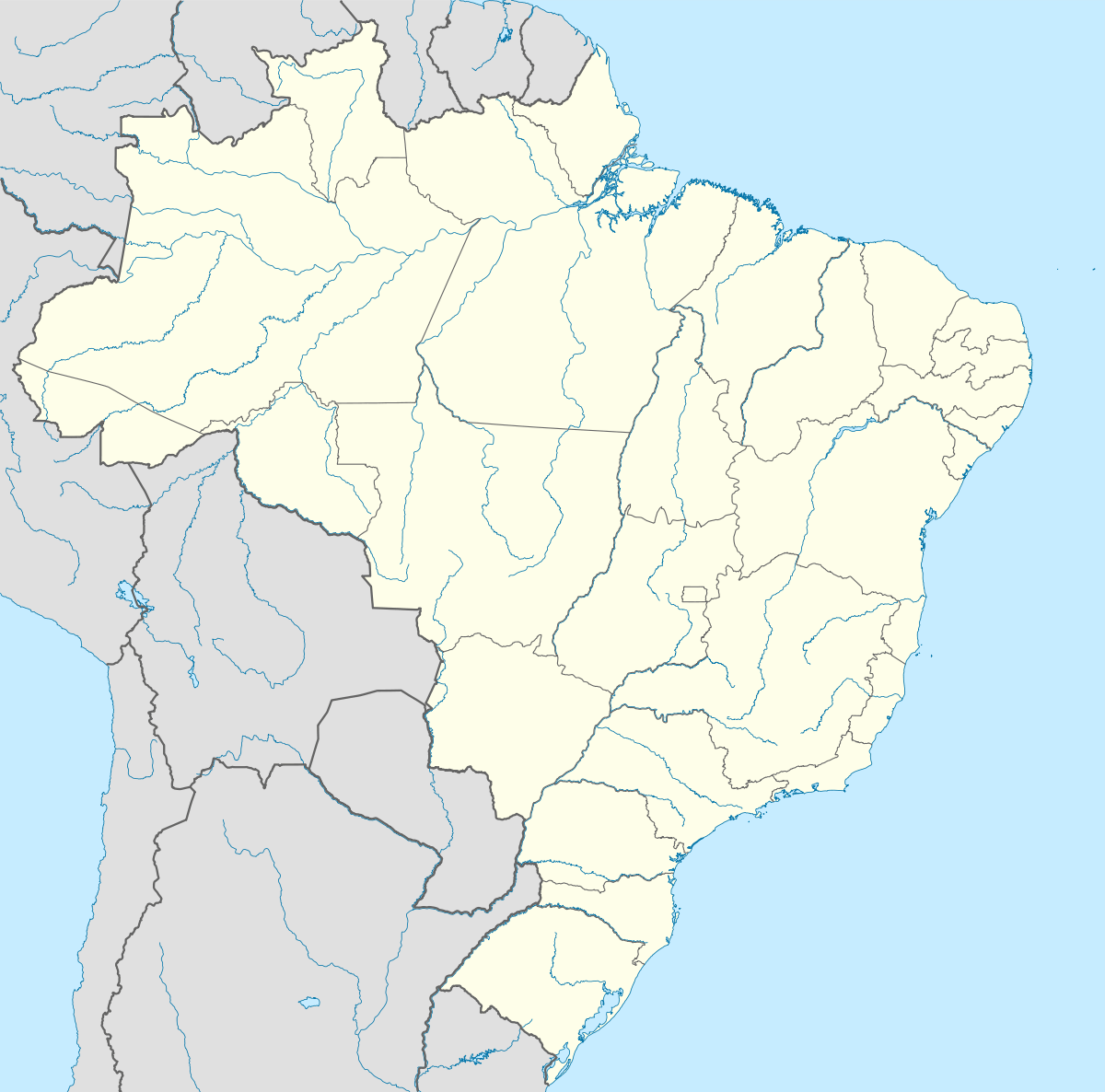 Santa Terezinha de Goiás Location in Brazil | |
| Coordinates: 14°26′00″S 49°41′44″W / 14.43333°S 49.69556°WCoordinates: 14°26′00″S 49°41′44″W / 14.43333°S 49.69556°W | |
| Country |
|
| Region | Central-West Region |
| State | Goiás |
| Microregion | Porangatu Microregion |
| Area | |
| • Total | 1,202.2 km2 (464.2 sq mi) |
| Elevation | 409 m (1,342 ft) |
| Population (2007) | |
| • Total | 11,558 |
| • Density | 9.6/km2 (25/sq mi) |
| Time zone | BRT/BRST (UTC-3/-2) |
| Postal code | 76500-000 |
Santa Terezinha de Goiás is a municipality in north Goiás state, Brazil. Santa Terezinha is sometimes written as "Santa Teresinha".
Location
Santa Terezinha is in the extreme north of the state, 174 km. southwest of Porangatu. It is 66 km. west of the important BR-153 highway.
Highway connections from Goiânia are made by GO-080 / Nerópolis / São Francisco de Goiás / BR-153 / Jaraguá / Rianápolis / Rialma / GO-336 / Itapaci / GO-154 / Pilar de Goiás.
Santa Terezinha de Goiás is bordered by the following municipalities:
- north: Campos Verdes de Goiás and Mara Rosa
- south: Guarinos
- east: Uruaçu
- west: Crixás
Political Information
- Mayor: Vitalino da Silva Muniz (January 2005)
- City council: 09
- Eligible voters: 8,998 (December/2007)
Demographics
- Population density: 9.61 inhab/km² (2007)
- Urban population: 8,673 (2007)
- Rural population: 2,885 (2007)
- Population change: 1.37% 1996/2007
The economy
The economy is based on modest agriculture, cattle raising, services, public administration, and small transformation industries.
- Industrial units: 18 (2007)
- Retail units: 111 (2007), employing 275 workers in 2005
- Financial institutions: Banco do Brasil S.A. - BRADESCO S.A. (01/06/2005)
- Automobiles: 567 (2007)
Agricultural Data (2006)
- Farms: 691
- Total agricultural Area: 66,678 hectares
- Permanent Planted Area: 2,297 hectares
- Temporary Planted Area: 3,441 hectares
- Natural Pasture: 43,488 hectares
- Woodland and Forest: 15,177 hectares
- Workers related to the farm owner: 1,609
- Workers not related to the farm owner: 188 (IBGE)
- Cattle herd: 77,000 head (2006)
- Main crops: rice (280 hectares), bananas, beans, manioc, corn (900 hectares), palm hearts and coconut.
Education (2006)
- Schools: 11 with 3,503 students
- Higher education: campus of the Universidade Estadual de Goiás
- Adult literacy rate: 83.0% (2000) (national average was 86.4%)
Health (2007)
- Hospitals: 1
- Hospital beds: 43
- Ambulatory clinics: 5
- Infant mortality rate: 27.56 (2000) (national average was 33.
Municipal Human Development Index
- MHDI: 0.721
- State ranking: 171 (out of 242 municipalities in 2000)
- National ranking: 2,607 (out of 5,507 municipalities in 2000)
Seplan Economic Development Index The ranking was 168 out of 246 municipalities. See Seplan
Seplan Social Development Index The ranking was 101 out of 246 municipalities. See Seplan
See also
References
Capital: Goiânia | |||||||||||||||||||||||||||||
|  | ||||||||||||||||||||||||||||
|
| |||||||||||||||||||||||||||||
| |||||||||||||||||||||||||||||
| |||||||||||||||||||||||||||||