McMullin, Virginia
| McMullin | |
|---|---|
| CDP | |
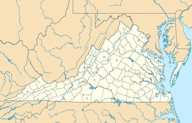 McMullin Location within the Commonwealth of Virginia | |
| Coordinates: 36°49′3″N 81°34′31″W / 36.81750°N 81.57528°WCoordinates: 36°49′3″N 81°34′31″W / 36.81750°N 81.57528°W | |
| Country | United States |
| State | Virginia |
| County | Smyth |
| Population (2010) | |
| • Total | 464 |
| Time zone | Eastern (EST) (UTC-5) |
| • Summer (DST) | EDT (UTC-4) |
| ZIP codes | 24354 |
| FIPS code | 51-48445 |
| GNIS feature ID | 2629841 |
McMullin is a census-designated place in Smyth County, Virginia. The population as of the 2010 Census was 464.[1]
Fox Farm Site was listed on the National Register of Historic Places in 1978.[2]
References
- ↑ Virginia Trend Report 2: State and Complete Places (Sub-state 2010 Census Data). Missouri Census Data Center. Accessed 2011-06-08.
- ↑ National Park Service (2010-07-09). "National Register Information System". National Register of Historic Places. National Park Service.
Municipalities and communities of Smyth County, Virginia, United States | ||
|---|---|---|
| Towns |  | |
| CDPs | ||
| Unincorporated communities | ||
This article is issued from Wikipedia - version of the 9/5/2016. The text is available under the Creative Commons Attribution/Share Alike but additional terms may apply for the media files.