Huta Różaniecka
| Huta Różaniecka | |
|---|---|
| Village | |
|
Ruins of the church | |
 Huta Różaniecka | |
| Coordinates: 50°22′N 23°13′E / 50.367°N 23.217°E | |
| Country |
|
| Voivodeship | Subcarpathian |
| County | Lubaczów |
| Gmina | Narol |
| Website | http://www.hutarozaniecka.prv.pl/ |

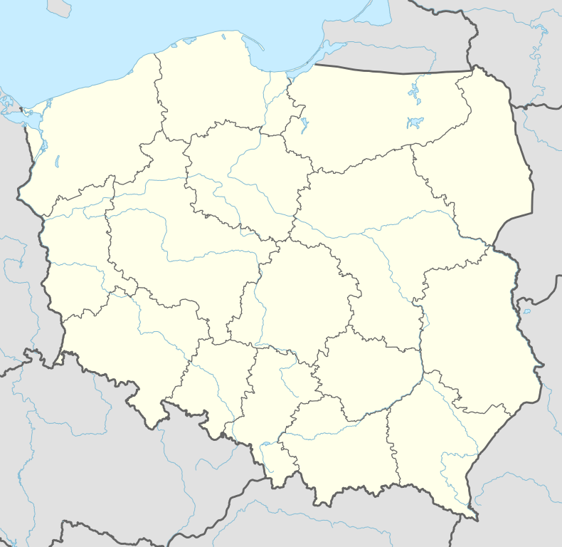
Huta Różaniecka [ˈxuta ruʐaˈɲet͡ska] (Ukrainian: Гута Рожанецька, Huta Rozhanets’ka) is a village in the administrative district of Gmina Narol, within Lubaczów County, Subcarpathian Voivodeship, in south-eastern Poland. It lies approximately 9 kilometres (6 mi) west of Narol, 24 km (15 mi) north of Lubaczów, and 94 km (58 mi) north-east of the regional capital Rzeszów.[1]
References
| Town and seat |  | |
|---|---|---|
| Villages | ||
Coordinates: 50°22′N 23°13′E / 50.367°N 23.217°E
This article is issued from Wikipedia - version of the 8/21/2013. The text is available under the Creative Commons Attribution/Share Alike but additional terms may apply for the media files.