Gmina Pomiechówek
| Gmina Pomiechówek Pomiechówek Commune | ||
|---|---|---|
| Gmina | ||
| ||
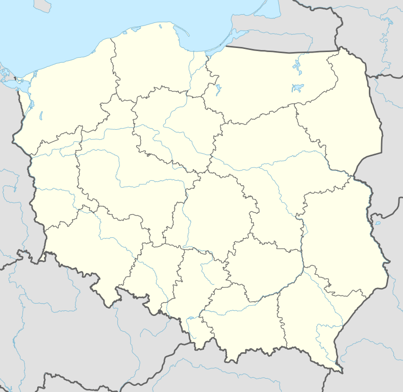 Gmina Pomiechówek Location within Poland | ||
| Coordinates (Brody-Parcele): 52°29′N 20°45′E / 52.483°N 20.750°ECoordinates: 52°29′N 20°45′E / 52.483°N 20.750°E | ||
| Country |
| |
| Voivodeship | Masovian | |
| County | Nowy Dwór Mazowiecki | |
| Seat | Brody-Parcele | |
| Area | ||
| • Total | 102.31 km2 (39.50 sq mi) | |
| Population (2011)[1] | ||
| • Total | 8,941 | |
| • Density | 87/km2 (230/sq mi) | |
| Website |
www | |
Gmina Pomiechówek is a rural gmina (administrative district) in Nowy Dwór Mazowiecki County, Masovian Voivodeship, in east-central Poland. It takes its name from the village of Pomiechówek, but its seat is Brody-Parcele, which lies approximately 5 kilometres (3 mi) north-east of Nowy Dwór Mazowiecki and 33 km (20 mi) north-west of Warsaw.
The gmina covers an area of 102.31 square kilometres (39.5 sq mi), and as of 2006 its total population is 8,820 (8,941 in 2011).
Villages
Gmina Pomiechówek contains the villages and settlements of Błędówko, Błędowo, Brody, Brody-Parcele, Bronisławka, Cegielnia-Kosewo, Czarnowo, Falbogi Borowe, Goławice Drugie, Goławice Pierwsze, Kikoły, Kosewko, Kosewo, Nowe Orzechowo, Nowy Modlin, Pomiechówek, Pomiechowo, Pomocnia, Śniadówko, Stanisławowo, Stare Orzechowo, Szczypiorno, Wójtostwo, Wola Błędowska, Wólka Kikolska, Wymysły and Zapiecki.
Neighbouring gminas
Gmina Pomiechówek is bordered by the town of Nowy Dwór Mazowiecki and by the gminas of Nasielsk, Serock, Wieliszew and Zakroczym.
References
External links
| Seat | ||
|---|---|---|
| Other villages | ||
Seat: Nowy Dwór Mazowiecki (urban gmina) | ||
| Urban-rural gminas |  | |
| Rural gminas | ||