Dırnıs
| Dırnıs | |
|---|---|
| Municipality | |
 Dırnıs | |
| Coordinates: 38°59′10″N 45°58′45″E / 38.98611°N 45.97917°ECoordinates: 38°59′10″N 45°58′45″E / 38.98611°N 45.97917°E | |
| Country |
|
| Autonomous republic | Nakhchivan |
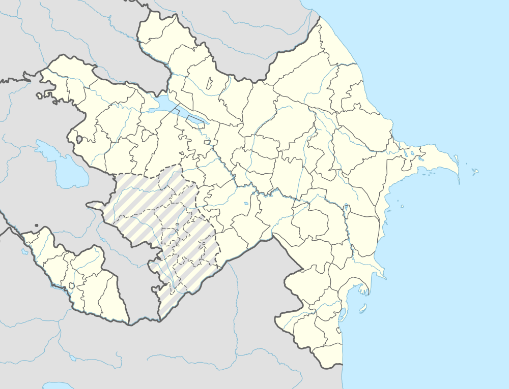
| Rayon | Ordubad |
| Population (2005) | |
| • Total | 1,470 |
| Time zone | AZT (UTC+4) |
Dırnıs (also, Dyrnys, Dernis) is a village and municipality in the Ordubad Rayon of Nakhchivan, Azerbaijan. It is located in the near of the Ordubad-Unus highway, 29 km in the north-east from the district center, on the bank of the Venend River. Its population is busy with gardening, vegetable-growing and farming. There are secondary school, club, library, culture house, medical center and the mosque of the Middle Ages in the village. It has a population of 1,470. In the territory of the village, in the cemetery were medieval a stone ram statues on the graves.[1]
Dırnıs mosque
Dırnıs mosque - the mosque in the Dırnıs village of the Ordubad region. The mosque was compact in terms of the architecture composition and was reflected in the itself of the features of style and typological of the 18-19 centuries. The mosque has a sanctuary, windows with lattice; the pillars are from the hewed wood materials.[1]
Notable natives
- Huseyn Mammadov — Chairmen of the Presidium of the Supreme Soviet of Nakhchivan ASSR (1952–1964).[2]
References
- 1 2 ANAS, Azerbaijan National Academy of Sciences (2005). Nakhchivan Encyclopedia. volume I. Baku: ANAS. p. 135-136. ISBN 5-8066-1468-9.
- ↑ "Мамедов Гусейн Курбан оглы". Справочник по истории Коммунистической партии и Советского Союза 1898 - 1991.
.svg.png)