Carrajung, Victoria
| Carrajung Victoria | |||||||
|---|---|---|---|---|---|---|---|
 Carrajung | |||||||
| Coordinates | 38°22′S 146°41′E / 38.367°S 146.683°ECoordinates: 38°22′S 146°41′E / 38.367°S 146.683°E | ||||||
| Postcode(s) | 3844 | ||||||
| Elevation | 700 m (2,297 ft) | ||||||
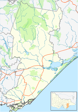
| Location | |||||||
| LGA(s) | Shire of Wellington | ||||||
| County | Buln Buln | ||||||
| State electorate(s) | Gippsland South | ||||||
| Federal Division(s) | Gippsland | ||||||
| |||||||
Carrajung is a town in eastern Victoria, Australia. Carrajung is situated between Yarram and Traralgon, about 5 kilometres from the Hyland Highway at a height of approximately 520 meters above sea level. Carrajung is situated close to the eastern end of the Grand Ridge Road.
It has a population of around 100 people. Carrajung has a football oval, one church,a community hall and a primary school that is now closed.
Carrajung Post Office opened on 1 November 1887 and closed in 1974. Carrajung Lower, nearby, had a Post Office open from 1902 until 1911, and from 1922 until 1969 although known as Bruthen Creek until 1926.[1]
References
- ↑ Premier Postal History, Post Office List, retrieved 2008-04-11
This article is issued from Wikipedia - version of the 8/10/2013. The text is available under the Creative Commons Attribution/Share Alike but additional terms may apply for the media files.