Atzesberg
| Atzesberg | ||
|---|---|---|
| ||
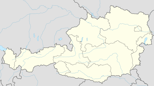 Atzesberg Location within Austria | ||
| Coordinates: 48°32′26″N 13°52′17″E / 48.54056°N 13.87139°ECoordinates: 48°32′26″N 13°52′17″E / 48.54056°N 13.87139°E | ||
| Country | Austria | |
| State | Upper Austria | |
| District | Rohrbach | |
| Government | ||
| • Mayor | Norbert Höretzeder (ÖVP) | |
| Area | ||
| • Total | 13 km2 (5 sq mi) | |
| Elevation | 610 m (2,000 ft) | |
| Population (1 January 2016)[1] | ||
| • Total | 445 | |
| • Density | 34/km2 (89/sq mi) | |
| Time zone | CET (UTC+1) | |
| • Summer (DST) | CEST (UTC+2) | |
| Postal code | 4152 | |
| Area codes | 0 72 83 | |
| Vehicle registration | RO | |

Atzesberg is a municipality in the district of Rohrbach in the Austrian state of Upper Austria.
Population
| Historical population | ||
|---|---|---|
| Year | Pop. | ±% |
| 1869 | 617 | — |
| 1880 | 616 | −0.2% |
| 1890 | 560 | −9.1% |
| 1900 | 527 | −5.9% |
| 1910 | 486 | −7.8% |
| 1923 | 513 | +5.6% |
| 1934 | 532 | +3.7% |
| 1939 | 515 | −3.2% |
| 1951 | 482 | −6.4% |
| 1961 | 561 | +16.4% |
| 1971 | 541 | −3.6% |
| 1981 | 503 | −7.0% |
| 1991 | 536 | +6.6% |
| 2001 | 521 | −2.8% |
| 2011 | 453 | −13.1% |
References
| Wikimedia Commons has media related to Atzesberg. |
This article is issued from Wikipedia - version of the 9/16/2015. The text is available under the Creative Commons Attribution/Share Alike but additional terms may apply for the media files.