Alger Island, Russia
| Russian: Остров Алджер | |
|---|---|
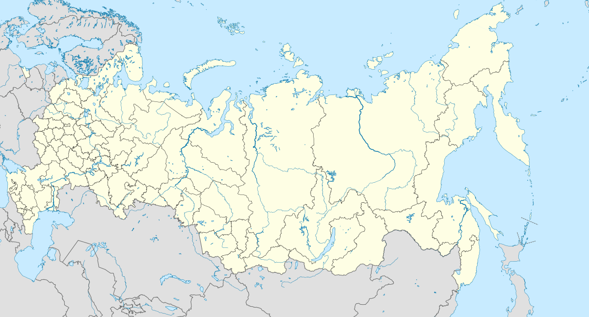
 Alger Island Location of the Franz Josef Archipelago. | |
| Geography | |
| Location | Arctic |
| Coordinates | 80°23′N 56°00′E / 80.383°N 56.000°E |
| Archipelago | Franz Josef Archipelago |
| Length | 10 km (6 mi) |
| Width | 4.7 km (2.92 mi) |
| Highest elevation | 429 m (1,407 ft) |
| Highest point | Kupol Vostok Pervyy |
| Administration | |
| Demographics | |
| Population | 0 |
Alger Island (Russian: Остров Алджер; Ostrov Aldzher) is an island in Franz Josef Land, Russia. Lat 80° 22′ N, long 56° 03′ E.
Geography
The length of Alger Island is 10 km (6.2 mi) and its maximum width 4.7 km (2.9 mi). Its highest point is the 429 m (1,407 ft) high summit of the Kupol Vostok Pervyy (Купол Восток Первый) ice dome that covers part of the island.[1] There are wide unglaciated areas on the northern and the southwestern shores.
Alger Island is located north of McClintock Island, separated from it by a 2 km (1.2 mi) narrow sound.
The wintering site of the 1901 failed American Baldwin-Ziegler Expedition was on Alger Island. They named this island after 19th-century American author Horatio Alger who was a significant figure of American cultural and social ideals at that time.[2][3][4]
Off Alger Island's southwestern shores lies Ostrov Matil'dy (Остров Матильды), a very small, barely 1 km (0.62 mi) long, island.
Coordinates: 80°23′N 56°00′E / 80.383°N 56.000°E
See also
References
External links
- UNEP - Islands
- Names in Russian: ru:Список островов России