Ždírec (Jihlava District)
| Ždírec | |||
|---|---|---|---|
| Municipality | |||
 | |||
| |||
 Ždírec | |||
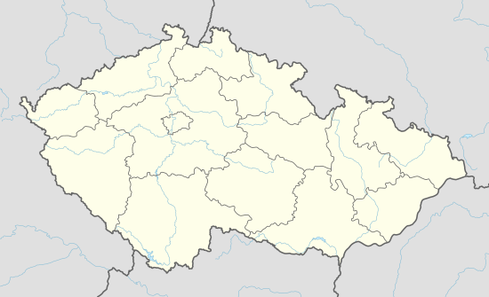
| Coordinates: 49°27′12″N 15°40′50″E / 49.45333°N 15.68056°ECoordinates: 49°27′12″N 15°40′50″E / 49.45333°N 15.68056°E | |||
| Country |
| ||
| Region | Vysočina | ||
| District | Jihlava | ||
| Area | |||
| • Total | 10.35 km2 (4.00 sq mi) | ||
| Elevation | 515 m (1,690 ft) | ||
| Population (2011) | |||
| • Total | 405 | ||
| • Density | 39/km2 (100/sq mi) | ||
| Postal code | 588 13 | ||
| Website | http://www.obeczdirec.cz | ||


Ždírec (German Seelenz) is a village situated in Vysočina Region of the Czech Republic. The municipality covers an area of 10.35 square kilometres (4.00 sq mi) and has a population of 405 (as at 26 March 2011). Ždírec lies approximately 10 kilometres north-east of Jihlava and 4.5 kilometres south-west of Polná.
History
The first historical reference comes from 1233, but the village is probably older. From the 13th century to the Second World War Ždírec was a German village. After the expulsion of Germans from Czechoslovakia the village was settled by Czechs.
The name of the village comes from the word žďáření (slash-and-burn).
Facilities
Ždírec has a small shop, a restaurant, a library, a nursery, a retirement home, a multipurpose building and a football field. The village has had its own flag and coat of arms since 2008.
Historical sights
- The Church of Saint Wenceslas is situated in the centre of the village. It was reconstructed after the fire in the 19th century in pseudo gothic style. It became cultural sight of the Czech Republic on 3 May 1958.
- Baroque sculptural group of Saint John of Nepomuk from the 18th century.
- Baroque statue of Anthony of Padua
- Building of retirement home with chapel of the Virgin Mary
- Cemetery with many graves of Germans
References
| Wikimedia Commons has media related to Ždírec (Jihlava District). |