Łętownia, Lesser Poland Voivodeship
For other places with the same name, see Łętownia.
| Łętownia | |
|---|---|
| Village | |
|
Łętownia | |
 Łętownia | |
| Coordinates: 49°49′51″N 19°52′13″E / 49.83083°N 19.87028°E | |
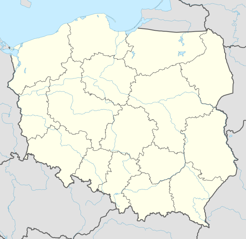
| Country |
|
| Voivodeship | Lesser Poland |
| County | Sucha |
| Gmina | Gmina Jordanów |
| Highest elevation | 858 m (2,815 ft) |
| Lowest elevation | 450 m (1,480 ft) |
| Population | 2,800 |
| Website | http://www.letownia.eu |
_BM2.jpg)
Łętownia [wɛnˈtɔvɲa] is a village in the administrative district of Gmina Jordanów, within Sucha County, Lesser Poland Voivodeship, in southern Poland.[1] It lies approximately 7 kilometres (4 mi) north of Jordanów, 27 km (17 mi) north-east of Sucha Beskidzka, and 58 km (36 mi) south of the regional capital Kraków.
The village has a population of 2,800.
References
Coordinates: 49°49′51″N 19°52′13″E / 49.83083°N 19.87028°E
This article is issued from Wikipedia - version of the 5/20/2016. The text is available under the Creative Commons Attribution/Share Alike but additional terms may apply for the media files.