Čachotín
| Čachotín | |
|---|---|
| Municipality | |
 | |
 Čachotín | |
| Coordinates: 49°41′34″N 15°36′35″E / 49.69278°N 15.60972°ECoordinates: 49°41′34″N 15°36′35″E / 49.69278°N 15.60972°E | |
| Country |
|
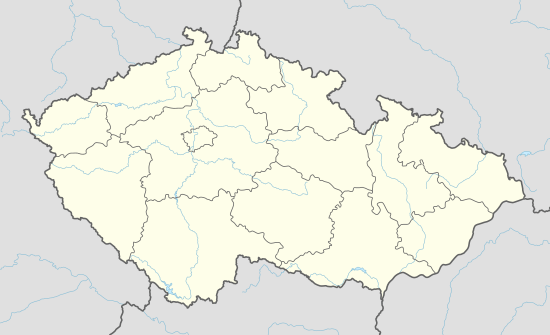
| Region | Vysočina |
| District | Havlíčkův Brod |
| Area | |
| • Total | 6.3 km2 (2.4 sq mi) |
| Elevation | 572 m (1,877 ft) |
| Population (1.1.2014) | |
| • Total | 180 |
| • Density | 29/km2 (74/sq mi) |
| Postal code | 583 01 |
Čachotín [ˈtʃaxociːn] is a village and municipality (obec) in Havlíčkův Brod District in the Vysočina Region of the Czech Republic.
The municipality covers an area of 6.3 square kilometres (2.4 sq mi), and has a population of 182 (as at 3 July 2006).
Čachotín lies approximately 10 kilometres (6 mi) north of Havlíčkův Brod, 33 km (21 mi) north of Jihlava, and 96 km (60 mi) south-east of Prague.
Gallery
 Main street
 Municipal office
References
| Wikimedia Commons has media related to Čachotín. |
This article is issued from Wikipedia - version of the 4/7/2016. The text is available under the Creative Commons Attribution/Share Alike but additional terms may apply for the media files.