Wordie Glacier
| Wordie Glacier | |
|---|---|
|
View of the Wordie Glacier terminus with its small terminal moraine | |
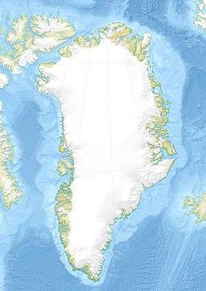 Location within Greenland | |
| Location | Greenland |
| Coordinates | 74°15′N 23°3′W / 74.250°N 23.050°WCoordinates: 74°15′N 23°3′W / 74.250°N 23.050°W |
| Length | 80 km |
| Width | 9 km |
| Terminus |
Godthab Gulf North Atlantic Ocean |

Wordie Glacier (Danish: Wordie Gletscher) is a glacier in northeastern Greenland. It has its terminus on the east coast of the Greenland ice sheet.
This glacier was named after Scottish polar explorer James Wordie (1890–1962) by the 1926–27 expedition led by Lauge Koch.[1]
Geography
The Wordie Glacier is quite large and several nunataks rise above it. It flows for about 80 km from the NW east of Stenoland and west of Payer Land. The glacier has several branches, including the Vibeke Glacier and the smaller Iris Glacier to the west, and the Granta Glacier that drains into the Granta Fjord to the east. Faraway How and C. H. Ostenfeld Nunatak are located in the Wordie Glacier.[1]
The terminus of the Wordie Glacier is in the Wordie Bay, a small bay of the Godthab Gulf, southwest of Clavering Island. The Jordan Hill, a conspicuous 1,410 m high promontory rises by the shore on the northern side of the terminus of the Wordie Glacier. About 40 kilometers to the NNE lies the Tyrolerfjord, the terminus of the Copeland Glacier (Pasterze Glacier).[2]
 Map of Northeastern Greenland. |
 Map of the area showing the Wordie Glacier on the left. |
Bibliography
- R. Thomas et al. Recent changes on Greenland outlet glaciers , Journal of Glaciology, Vol. 55, No. 189, 2009
- Wordie, J. M.; Manley, G.; White, P. F.; Johnson, D. McI. (1994). "The Cambridge Expedition to East Greenland in 1926". The Geographical Journal. GJ (1/2): 53. doi:10.2307/1781943. JSTOR 1781943.
See also
References
- 1 2 "Catalogue of place names in northern East Greenland" (PDF). Geological Survey of Denmark. Retrieved 21 April 2016.
- ↑ "Wordie Gletscher". Mapcarta. Retrieved 21 April 2016.
External links
- Panoramio - Photo of Wordie Glacier, eastern Greenland
- Wordie Glacier, Godthab Golf, Northeast Greenland