Wolstenholme Fjord
| Wolstenholme Fjord | |
|---|---|
 Location | |
| Location | Arctic |
| Coordinates | 76°37′55″N 68°38′15″W / 76.63194°N 68.63750°WCoordinates: 76°37′55″N 68°38′15″W / 76.63194°N 68.63750°W |
| Ocean/sea sources | Baffin Bay |
| Basin countries | Greenland |
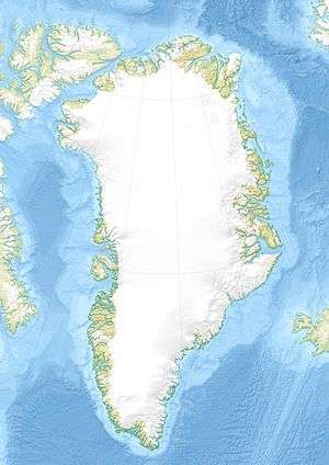
The Wolstenholme Fjord is located in the far northwest of Greenland, to the north of the Thule Air Base and adjacent to the abandoned Inuit settlement of Narsaarsuk.
Geography
Saunders Island, Wolstenholme Island and the Bylot Sound lie at the mouth of the Fjord in North Star Bay.
The fjord's waters are fed by four large glaciers: the Salisbury Glacier, the Chamberlin Glacier, the Knud Rasmussen Glacier, and the Harald Moltke Glacier.
The area was contaminated in 1968 with Plutonium and other radioactive elements following a B-52 bomber crash.[1]
See also
References
- ↑ Aarkrog, Asker (January 1970). "Radio-Ecological Investigations". USAF Nuclear Safety. Danish Atomic Energy Commission.
This article is issued from Wikipedia - version of the 4/27/2016. The text is available under the Creative Commons Attribution/Share Alike but additional terms may apply for the media files.