Whitefish River (Saskatchewan)
For other places with the same name, see Whitefish River.
| Whitefish River | |
| Country | Canada |
|---|---|
| Province | Saskatchewan |
| Census Division | No. 18 |
| Part of | Churchill River drainage basin |
| Source | Unnamed lake |
| - elevation | 464 m (1,522 ft) |
| - coordinates | 55°53′08″N 105°11′27″W / 55.88556°N 105.19083°W |
| Mouth | Rowe Lake |
| - elevation | 381 m (1,250 ft) |
| - coordinates | 55°42′56″N 105°21′31″W / 55.71556°N 105.35861°WCoordinates: 55°42′56″N 105°21′31″W / 55.71556°N 105.35861°W |
| Length | 24 km (15 mi) |
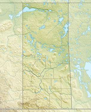 Location of the mouth of the Whitefish River in Saskatchewan. | |
| [1] | |
The Whitefish River is a river in Census division No. 18 in northern Saskatchewan, Canada. It is in the Hudson Bay and Churchill River drainage basins.
Course
The river begins at an unnamed lake at an elevation of 464 metres (1,522 ft) and flows south then northeast. It then heads southwest, and reaches its mouth at Rowe Lake at an elevation of 381 metres (1,250 ft), about 65 kilometres (40 mi) north of the community of La Ronge. The waters of Rowe Lake flow through Shadd Lake to Black Bear Island Lake on the Churchill River.
See also
References
- ↑ "Atlas of Canada Toporama". Retrieved 2014-08-29.
- "Whitefish River". Geographical Names Data Base. Natural Resources Canada. Retrieved 2010-08-20.
- "Topographic Map sheets 73P11, 73P14". Atlas of Canada. Natural Resources Canada. 2010-02-04. Retrieved 2010-08-20.
This article is issued from Wikipedia - version of the 5/20/2016. The text is available under the Creative Commons Attribution/Share Alike but additional terms may apply for the media files.