Waknaghat
| Waknaghat | |
|---|---|
| town | |
 Waknaghat 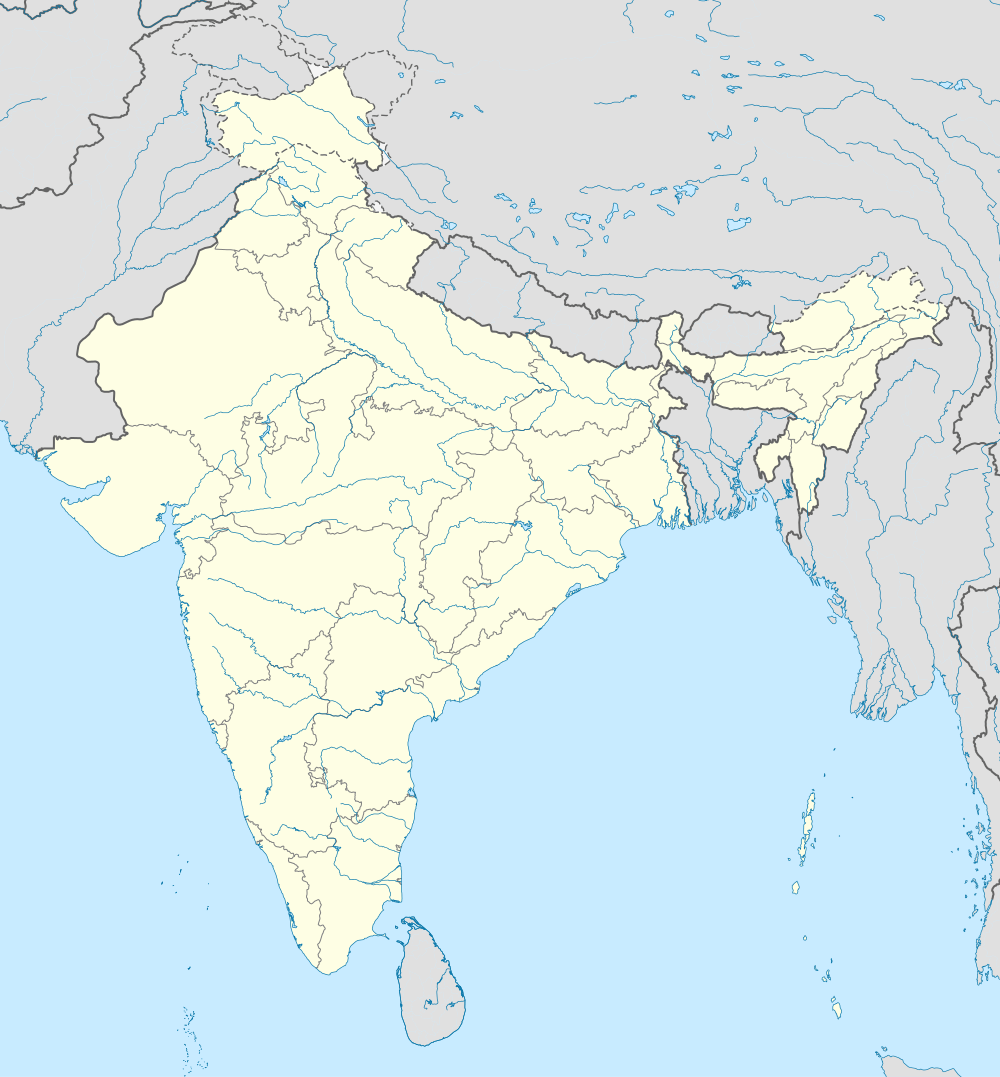 Waknaghat Location in Himachal Pradesh, India | |
| Coordinates: 31°01′N 77°05′E / 31.02°N 77.08°ECoordinates: 31°01′N 77°05′E / 31.02°N 77.08°E | |
| Country |
|
| State | Himachal Pradesh |
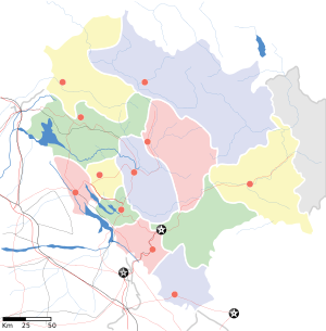
| District | Solan |
| Elevation | 1,544 m (5,066 ft) |
| Languages | |
| • Official | Hindi |
| Time zone | IST (UTC+5:30) |
| PIN | 173234 |
Waknaghat is a small town in Solan district in the Indian state of Himachal Pradesh which falls on the way to Shimla, India from Kalka, India. It is located on National Highway 22. Waknaghat is around 22 km from Shimla and 25 km from Solan. Other nearby villages and towns are Wakna, Domehar, Aanji-Sunara, Sabathu, Mamlig, Shoghi and Kandaghat. Near railway station is Kaithli-Ghat 3 km from Waknaghat and Kandaghat is 12 km from Waknaghat
Regional resources
Waknaghat town lies in the middle of a very resourceful region. Around it we have a very fertile agricultural land. So much so that it has the best organized Sabzi Mandi of Solan at Waknaghat. Waknaghat is known for tomato, ginger, peas, cauliflower, capsicum, cabbage, lady finger, beans, pepper, pahari potato, kheera as well as stone fruits.
Then we have lime and sand quarries as well as stone mines.Waknaghat also has sweet mineral water in and around it.
Geography
Climate
Situated at an altitude of 1700 metres on an average, Waknaghat can be called as a cool station. Lying in the middle of the Solan - Shimla segment of N.H.-22 it has a moderate set of conditions i.e., neither so cold as Shimla, nor too hot as Kalka as the temperature hardly rise more than 32 °C (90 °F). That is why it is considered as an ideal station from residential point of view. During winters Waknaghat experience little snowfall. Temperatures typically range from −4 °C (25 °F) to 32 °C (90 °F) over the course of a year.
| Climate data for Waknaghat | |||||||||||||
|---|---|---|---|---|---|---|---|---|---|---|---|---|---|
| Month | Jan | Feb | Mar | Apr | May | Jun | Jul | Aug | Sep | Oct | Nov | Dec | Year |
| Record high °C (°F) | 21.2 (70.2) |
13.4 (56.1) |
24.9 (76.8) |
29.3 (84.7) |
31.0 (87.8) |
32.6 (90.7) |
29.8 (85.6) |
27.6 (81.7) |
24.4 (75.9) |
23.9 (75) |
19.4 (66.9) |
22.0 (71.6) |
33.4 (92.1) |
| Average high °C (°F) | 8.3 (46.9) |
8.9 (48) |
13.9 (57) |
18.3 (64.9) |
22.2 (72) |
22.8 (73) |
20.6 (69.1) |
19.4 (66.9) |
19.4 (66.9) |
17.2 (63) |
13.9 (57) |
10.6 (51.1) |
16.3 (61.3) |
| Average low °C (°F) | −2.2 (28) |
−2.8 (27) |
6.7 (44.1) |
11.1 (52) |
19.4 (66.9) |
21.1 (70) |
22.6 (72.7) |
17.0 (62.6) |
16.9 (62.4) |
12.6 (54.7) |
7.2 (45) |
−1.4 (29.5) |
8.0 (46.4) |
| Record low °C (°F) | −9.4 (15.1) |
−7.7 (18.1) |
−5.6 (21.9) |
0.0 (32) |
4.4 (39.9) |
7.8 (46) |
10.0 (50) |
11.1 (52) |
5.0 (41) |
3.9 (39) |
0.0 (32) |
−6.1 (21) |
−9.4 (15.1) |
Geology
Dagshai - Solan - Kandaghat - Waknaghat - Kaithlighat - Taradevi - Kareru - Shimla is the main ridge forming partition line between the Sutlej and Yamuna catchments. Thus a drop of rain falling on the eastern past of Karol hill ultimately goes into the Bay of Bengal whereas the drop falling on the western part ultimately leads to the Arabian sea.
Transport
By road
Waknaghat is easily accessible by road. It is 93 kilometers from Chandigarh (3.5 hours journey by bus) and 22 kilometers from Shimla (1 hours journey by bus).
The National Highway No. 22 is a prominent road passing through Waknaghat town. It is an important road from many points of view. Firstly it is a defence road connecting Delhi, Dehradun, Ambala and Chandigarh to the China Border. Next it is the life line of our State as all raw products, building materials, passengers, goods etc. come through this route only. Our own products go out via it. It is on account of its significance that there are today 2 bye passes within Solan Planning Area. These are :- The Centre Government is also likely to undertake the 4-laning of this road. Surveys and studies have been completed in this regard. Besides N.H.-22, we have many other important roads connecting Solan to its nearby areas, towns or settlements. These are: -
- Waknaghat - Subhatu road.
- Waknaghat - Wakna Village Road.
- Waknaghat - Solan- Shimla (NH-22).
Traffic and transportation
As stated earlier, traffic and transportation is the next most important aspect to be taken care of after water supply and sanitation. Waknaghat town is said to be having highest level of vehicle ownership per person in Asia. It may be just right. Every week one can see a vehicle or two coming on the road - brand new with HP-14, HP-64 number series. Presently an area of 138 hectares is covered under this use.
By rail
The Kalka-Shimla Railway was included in the UNESCO World Heritage List as part of the World Heritage Site Mountain Railways of India Kalka Shimla rail journey is breath taking experience and one should experience it.[1] on July 7, 2008.
By air
The nearest airport is Shimla airport which is about 20 km from Waknaghat. The Himachal Pradesh government is setting up its first international airport at an investment of Rs.1,000 crore in Solan district of the state on a public private partnership model. As Waknaghat is the fastest growing town of Himachal.
Education
Jaypee University of Information Technology
References
- ↑ "Kalka-Shimla Railway makes it to Unesco's World Heritage list". The Hindu Business Line. 2008-07-09. Retrieved 2008-07-10.