US Naval Ordnance Testing Facility Observation Tower No. 2
|
US Naval Ordnance Testing Facility Observation Tower No. 2 | |
|
US Naval Ordnance Testing Facility Observation Tower No. 2 | |
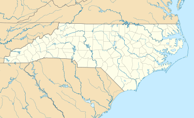  | |
| Location | 1000 blk. S. Anderson Blvd., Topsail Beach, North Carolina |
|---|---|
| Coordinates | 34°22′53″N 77°36′47″W / 34.38139°N 77.61306°WCoordinates: 34°22′53″N 77°36′47″W / 34.38139°N 77.61306°W |
| Area | less than one acre |
| Built | 1946 |
| MPS | US Naval Ordnance Test Facilities, Topsail Island MPS |
| NRHP Reference # | 93000911[1] |
| Added to NRHP | September 14, 1993 |
.jpg)
US Naval Ordnance Testing Facility Observation Tower No. 2, also known as Queen's Grant Tower, is a historic building located at Topsail Island, Pender County, North Carolina. It was built in 1946 by Kellex Corporation, and is a reinforced concrete structure. The interior stairs have been removed. It was one of seven observation towers built to house carefully calibrated monitoring equipment for "Operation Bumblebee."[2]
It was listed on the National Register of Historic Places in 1993.[1]
References
- 1 2 National Park Service (2010-07-09). "National Register Information System". National Register of Historic Places. National Park Service.
- ↑ Edward F. Turberg (May 1993). "US Naval Ordnance Testing Facility Observation Tower No. 2" (pdf). National Register of Historic Places - Nomination and Inventory. North Carolina State Historic Preservation Office. Retrieved 2015-02-01.

This article is issued from Wikipedia - version of the 12/1/2016. The text is available under the Creative Commons Attribution/Share Alike but additional terms may apply for the media files.