Tempuling Airport
| Tempuling Airport Bandar Udara Tempuling | |||||||||||
|---|---|---|---|---|---|---|---|---|---|---|---|
| IATA: none – ICAO: none | |||||||||||
| Summary | |||||||||||
| Airport type | Civil | ||||||||||
| Operator | Government | ||||||||||
| Serves | Tembilahan | ||||||||||
| Location | Tembilahan, Riau, Indonesia | ||||||||||
| Elevation AMSL | 55 ft / 17 m | ||||||||||
| Coordinates | 00°25′14.4″S 102°59′31.9″E / 0.420667°S 102.992194°ECoordinates: 00°25′14.4″S 102°59′31.9″E / 0.420667°S 102.992194°E | ||||||||||
| Map | |||||||||||
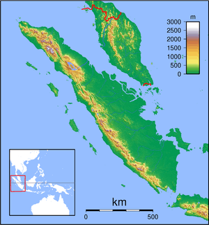 Tempuling Airport Location of the airport in Sumatra | |||||||||||
| Runways | |||||||||||
| |||||||||||
Tempuling Airport is a domestic airport located at Tembilahan, the capital of Indragiri Hilir Regency, Riau province. It serves Tembilahan and surrounding areas. It has some facilities like other airports. Currently, this airport only serves flights to and from Pekanbaru.[1] This airport is able to serve aircraft equivalent to ATR 72.
History
The airport was built since 2006 and finished in 2008.[2] This airport is actually located in Sungai Salak Village, Tempuling Subdistrict, located 24 km from Tembilahan. The runway has been extended from 1350 meters to 1800 meters to accommodate larger aircraft than previous, which the airport now is able to accommodate aircraft equivalent to Fokker 70 and ATR 72.[3]
Airlines and destinations
| Airlines | Destinations |
|---|---|
| Susi Air | Pekanbaru |
Statistics
| Rank | Destinations | Frequency (Weekly) | Airline(s) |
|---|---|---|---|
| 1 | Pekanbaru, Riau | 2 | Susi Air |
References
- ↑ http://www.beritasatu.com/food-travel/246528-susi-air-lakukan-penerbangan-perdana-di-indragiri-hilir.html
- ↑ http://gis.dephub.go.id/mapping/Bandara/InformasiUmumView.aspx?idbdr=843
- ↑ "GoRiau - Bandara Tempuling Bisa Lebih Maju Jika Dikelola Kemenhub". goriau.com. Retrieved 2016-11-03.
This article is issued from Wikipedia - version of the 12/5/2016. The text is available under the Creative Commons Attribution/Share Alike but additional terms may apply for the media files.