Tazewell Avenue Historic District
|
Tazewell Avenue Historic District | |
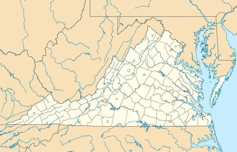  | |
| Location | Tazewell Ave, Fairfax Ave, Front St., Second St., Third St., & Fourth St, Richlands, Virginia |
|---|---|
| Coordinates | 37°5′46″N 81°48′21″W / 37.09611°N 81.80583°WCoordinates: 37°5′46″N 81°48′21″W / 37.09611°N 81.80583°W |
| Area | 15 acres (6.1 ha) |
| Built | 1900 |
| Architect | F Fields, W. W., Sr.; Brown, Joe |
| Architectural style | Queen Anne, Colonial Revival, Bungalow/Craftsman |
| NRHP Reference # | 10000147[1] |
| VLR # | 148-5020 |
| Significant dates | |
| Added to NRHP | March 31, 2010 |
| Designated VLR | December 17, 2009[2] |
Tazewell Avenue Historic District is a national historic district located at Richlands, Tazewell County, Virginia. The district encompasses 70 contributing buildings in a primarily residential section of the town of Richlands. They were largely built between 1900 and 1960, and are modestly scaled brick and frame dwellings reflecting popular architectural styles including Queen Anne, Colonial Revival, and Bungalow. Notable non-residential buildings include the former Pentecostal Holiness Church, former First Baptist Church, Barker Youth Center (1955), Nassif Building (c. 1945), and Masonic Hall and Jenkins Cleaners Building (c. 1930).[3]
It was listed on the National Register of Historic Places in 2007.[1]
References
- 1 2 National Park Service (2010-07-09). "National Register Information System". National Register of Historic Places. National Park Service.
- ↑ "Virginia Landmarks Register". Virginia Department of Historic Resources. Retrieved 5 June 2013.
- ↑ Sherry Joines Wyatt (May 2009). "National Register of Historic Places Inventory/Nomination: Tazewell Avenue Historic District" (PDF). Virginia Department of Historic Resources. and Accompanying four photos

This article is issued from Wikipedia - version of the 11/30/2016. The text is available under the Creative Commons Attribution/Share Alike but additional terms may apply for the media files.