Takling La (Pass)
| Takling La | |
|---|---|
|
Above the Takling pass | |
| Elevation | 5,575 m (18,291 ft)[1] |
| Traversed by | Spiti to Ladakh |
| Location | India |
| Range | Himalayas |
| Coordinates | 32°30′12″N 77°59′01″E / 32.50333°N 77.98361°ECoordinates: 32°30′12″N 77°59′01″E / 32.50333°N 77.98361°E |
 | |
Preview
Takling La is a parallel trek route of Parang La(pass).[2] Parang la is the most famous trek route of Spiti. This trek takes the people from Kaza to Korzoke village over 18,600 ft this route follows the traditional trade route between Ladakh and Spiti Valley.Where as Takling La route is quite unknown and separated from previous route from norbu-sumdoh (not actually from Norbu sumdoh but little distance away of that place from Tsomoriri side)and ends at Kyoto.[3] After leaving the Rupshu valley one enters into Takling valley or midan whatever you like to say. Both Rupshu and Takling Valley are hi-altitude plateau but first one is the grazing grounds for some nomads and latter one is not accessed by any one.[4]
Geography
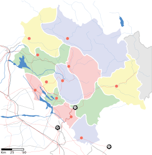
Takling la is a high altitude mountain pass located at Spiti districtt, Himachal Pradesh, India. It is a 5575m high pass parallel to Parang La usually used for trekking purposes.[5] This pass is in between Pare Chu river and Takshan Nala and can be accessible from June to September.[6]
Overview
Trek routes towards takling la starts from Kibber village or Kyoto and runs towards Korzoke village of tso Morrori,.[7][8] From late August the temperatures start falling slightly every day. Late June to mid August the temperature is warm, snow line has receded uncovering ice near the passes, green grass is at every camp site and also in between, flowers bloom, but the rivers and streams are in flood and unfordable at noon.[9]
- Takling valley other side view
- Takling Nala camp
- Takling valley
- Takling Pass
See also
External links
References
- ↑ http://wikimapia.org/1457628/Takling-La-5575m
- ↑ http://bameduniya.tripod.com/ladakh.html
- ↑ http://taklingla.blogspot.in/
- ↑ http://taklingla.blogspot.in/
- ↑ http://wikimapia.org/1457628/Takling-La-5575m
- ↑ http://taklingla.blogspot.in/
- ↑ http://taklingla.blogspot.in/
- ↑ http://bameduniya.tripod.com/ladakh.html
- ↑ http://bameduniya.tripod.com/ladakh.html