Sunray Agricultural Historic District
|
Sunray Agricultural Historic District | |
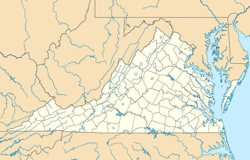  | |
| Location | Roughly bounded by Great Dismal Swamp & I 64, Chesapeake, Virginia |
|---|---|
| Coordinates | 36°46′51″N 76°24′40″W / 36.78083°N 76.41111°WCoordinates: 36°46′51″N 76°24′40″W / 36.78083°N 76.41111°W |
| Area | 1,264 acres (512 ha) |
| Built | 1908 |
| Architect | Pavlovetz, Michale; Virginia State Board of Education |
| Architectural style | Colonial Revival, Bungalow/craftsman, et al. |
| NRHP Reference # | 03000564[1] |
| VLR # | 131-5325 |
| Significant dates | |
| Added to NRHP | May 29, 2007 |
| Designated VLR | March 19, 2003[2] |
Sunray Agricultural Historic District is a national historic district located at Chesapeake, Virginia. The district encompasses 188 contributing buildings, 90 contributing sites, 2 contributing structures, and 1 contributing object in the early 20th-century immigrant farming community of Sunray. It includes early 20th century vernacular farmhouses, agricultural buildings, Sunray School (1922), and St. Mary’s Catholic Church (1915-1916). The district also includes a tidal ditch system, the abandoned Virginian Railroad Tracks (1909), and agricultural fields laid out with the platting of 1908.[3]
It was listed on the National Register of Historic Places in 2007.[1]
References
- 1 2 National Park Service (2010-07-09). "National Register Information System". National Register of Historic Places. National Park Service.
- ↑ "Virginia Landmarks Register". Virginia Department of Historic Resources. Retrieved 5 June 2013.
- ↑ Kimble A. David (August 2006). "National Register of Historic Places Inventory/Nomination: Sunray Agricultural Historic District" (PDF). Virginia Department of Historic Resources. and Accompanying four photos and Accompanying map

This article is issued from Wikipedia - version of the 11/30/2016. The text is available under the Creative Commons Attribution/Share Alike but additional terms may apply for the media files.