Stokesdale Historic District
|
Stokesdale Historic District | |
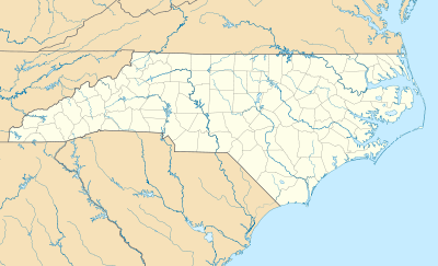  | |
| Location | Roughly bounded by Fayetteville St., Umstead St., Lawson St., Moline St., Concord St., and Dunstan St., Durham, North Carolina |
|---|---|
| Coordinates | 35°58′48″N 78°54′04″W / 35.98000°N 78.90111°WCoordinates: 35°58′48″N 78°54′04″W / 35.98000°N 78.90111°W |
| Area | 67 acres (27 ha) |
| Built | c. 1912-1960 |
| Architectural style | Queen Anne, Bungalow/craftsman, Colonial Revival, Tudor Revival |
| MPS | Durham MRA |
| NRHP Reference # | 10001093[1] |
| Added to NRHP | December 28, 2010 |
Stokesdale Historic District is a national historic district located at Durham, Durham County, North Carolina. The district encompasses 227 contributing buildings, 1 contributing site, and 1 contributing structure in a historically African-American residential section of Durham. The buildings primarily date between about 1912 and 1960 and include notable examples of Queen Anne, Colonial Revival, Tudor Revival, and Bungalow / American Craftsman architecture. Notable buildings include Page’s Grocery (c. 1913), College Inn (c. 1935), Covenant United Presbyterian Church (1948), and Seventh Day Adventist Church (1954).[2]
It was listed on the National Register of Historic Places in 2010.[1]
References
- 1 2 "National Register of Historic Places Listings". Weekly List of Actions Taken on Properties: 12/27/10 through 12/30/10. National Park Service. 2011-01-07.
- ↑ Heather Wagner (July 2010). "Stokesdale Historic District" (pdf). National Register of Historic Places - Nomination and Inventory. North Carolina State Historic Preservation Office. Retrieved 2014-11-01.

This article is issued from Wikipedia - version of the 11/30/2016. The text is available under the Creative Commons Attribution/Share Alike but additional terms may apply for the media files.