Stampriet
| Stampriet | |
|---|---|
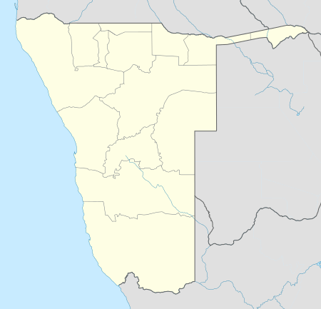 Stampriet Location in Namibia | |
| Coordinates: 24°20′S 18°24′E / 24.333°S 18.400°ECoordinates: 24°20′S 18°24′E / 24.333°S 18.400°E | |
| Country |
|
| Region | Hardap Region |
| Time zone | South African Standard Time (UTC+1) |
| Climate | BWh |
Stampriet is a village in Hardap Region, Namibia. It is located 64 km north-east of Mariental.[1]
Politics
Stampriet is governed by a village council that currently has five seats.[2]
Local authority results, 2010
In the 2010 local authority election, a total of 349 votes were cast in the village. SWAPO won with approximately 74% of the vote. Of the three other parties seeking seats, RDP received approximately 20% of the vote, followed by DTA (5%) and the Congress of Democrats which received 0 votes despite being on the ballot.[3]
References
- ↑ Stampriet, Namibia at Maplandia
- ↑ "Know Your Local Authority". Election Watch (3). Institute for Public Policy Research. 2015. p. 4.
- ↑ Local Authority Election Results for Stampriet
This article is issued from Wikipedia - version of the 5/7/2016. The text is available under the Creative Commons Attribution/Share Alike but additional terms may apply for the media files.