Shapuree Island
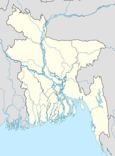
Location of Shapuree Island in Bangladesh
Shapuree, Shahpori, Shah Parir,[1] Shapura,[2] or Shinmabyu Island (Bengali শাহপরী দ্বীপ, "Sahapari Dwip"; Burmese ရှင်မဖြူကျွန်း) is located in Bangladesh at the mouth of the Naf River, a maritime-boundary between Bangladesh and Burma. Historically, it was claimed by the British during the First Anglo-Burmese War.[3] The island forms an extension of the peninsula of Teknaf Upazila.[1]
The island plays an important role as a likely landing place for boatloads of refugees crossing the Naf River from Myanmar, attempting to reach Bangladesh.[4]
References
- 1 2 Mainuddin, Md (2012). "Teknaf Upazila". In Islam, Sirajul; Jamal, Ahmed A. Banglapedia: National Encyclopedia of Bangladesh (Second ed.). Asiatic Society of Bangladesh.
- ↑ Tucker, S.C. (2009), A Global Chronology of Conflict: From the Ancient World to the Modern Middle East [6 volumes]: From the Ancient World to the Modern Middle East, ABC-CLIO, p. 1142, ISBN 9781851096725
- ↑ Dorothy Woodman (1962). The Making of Burma (1 ed.). London: The Cresset Press. p. 60.
- ↑ Dwaipayan Barua (12 June 2012). "Border guards push back 500". The Daily Star.
External links
- On the Irrawaddy a Story of The First Burmese War
- Memoir of the three campaigns of Major-General Sir Archibald Campbell's army By Sir Henry Havelock at Google Books
- Khan, Nasir (2012). "Teknaf Upazila Map". In Islam, Sirajul; Jamal, Ahmed A. Banglapedia: National Encyclopedia of Bangladesh (Second ed.). Asiatic Society of Bangladesh. - Map of Teknaf Upazila, showing "Shah-Parir Island"
Coordinates: 20°46′03″N 92°20′02″E / 20.7674°N 92.3340°E
This article is issued from Wikipedia - version of the 11/17/2016. The text is available under the Creative Commons Attribution/Share Alike but additional terms may apply for the media files.