Serra del Tallat
| Serra del Tallat | |
|---|---|
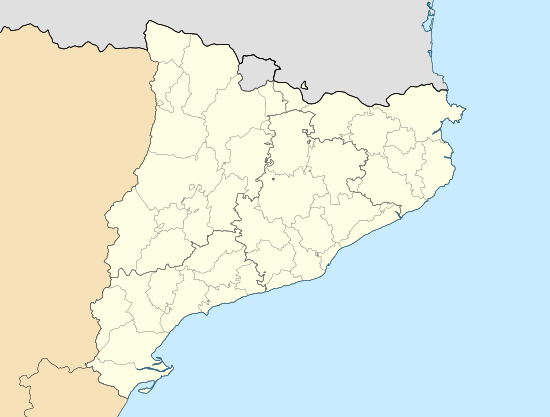 Serra del Tallat Location in Catalonia | |
| Highest point | |
| Elevation | 802 m (2,631 ft) |
| Coordinates | 41°28′07″N 01°06′46″E / 41.46861°N 1.11278°ECoordinates: 41°28′07″N 01°06′46″E / 41.46861°N 1.11278°E |
| Geography | |
| Location |
Conca de Barberà, Urgell Catalonia |
| Parent range | Catalan Central Depression |
| Climbing | |
| First ascent | Unknown |
| Easiest route | Drive from Els Omells de na Gaia or Espluga de Francolí to Senan, then hike |
Serra del Tallat is a mountain range of the Catalan Central Depression, Catalonia, Spain. It has an elevation of 802 metres above sea level.[1]
The highest summit of the Serra del Tallat is the Tossal Gros de Vallbona; it is located between the municipal limits of Espluga de Francolí, Conca de Barberà and Vallbona de les Monges, Urgell.
See also
References
- ↑ "Mapa Topogràfic de Catalunya". Institut Cartogràfic de Catalunya. Retrieved May 22, 2010..
This article is issued from Wikipedia - version of the 3/20/2015. The text is available under the Creative Commons Attribution/Share Alike but additional terms may apply for the media files.