Satterjhora
| Satterjhora सत्तेरझोरा | |
|---|---|
| Village Development Committee | |
 Satterjhora Location in Nepal | |
| Coordinates: 26°32′30″N 87°11′15″E / 26.5416666667°N 87.1875°ECoordinates: 26°32′30″N 87°11′15″E / 26.5416666667°N 87.1875°E | |
| Country |
|
| Zone | Koshi Zone |
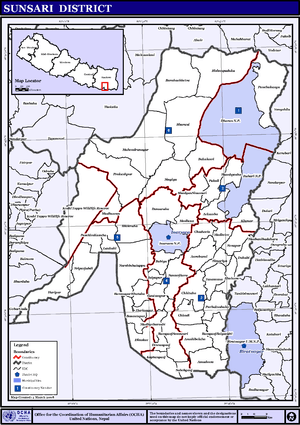
| District | Sunsari District |
| Population (2011 [1]) | |
| • Total | 9,507 |
| Time zone | Nepal Time (UTC+5:45) |
Satterjhora (Nepali: सत्तेरझोरा गाबिस ![]() listen ), a village development committee in Sunsari District in the Koshi Zone of south-east Nepal. Its population (2011) was 9,507 in 1,889 households. Among them the male and female population was about 4,539 and 4,968 respectively.
listen ), a village development committee in Sunsari District in the Koshi Zone of south-east Nepal. Its population (2011) was 9,507 in 1,889 households. Among them the male and female population was about 4,539 and 4,968 respectively.
This VDC is a combination of nine(9) villages known as wards. Main villages of Satterjhora are Hattimuda, Bhawanipur, Majhou, Thalaha, Holaiya, etc. Some community schools are Janata Madhyamika Vidhyalaya, Bhawani Prathamika Vidhyalaya, etc and some private schools are Rising Public Academy, Pashupati Academy, etc.
Though the village is well connected by road, electricity but development of infrastructure is not rapid as expected.
A road construction programme is on process. According to the committee members, the construction program will be completed in 2018/2019. This road links District Development Committee in Inaruwa Municipality and Village Development Committee in Satterjhora VDC.
VDCs & Municipalities Of Sunsari District
- Amaduwa
- Amahibelaha
- Aurabarni
- Bakalauri
- Barahachhetra
- Basantapur
- Bhaluwa
- Bharaul
- Bhokraha
- Bishnupaduka
- Chadwela
- Chhitaha
- Chimdi
- Dewanganj
- Dharan Sub-metropolitan Municipality
- Duhabi-Bhaluwa Municipality
- Dumaraha
- Gautampur
- Ghuski
- Harinagar
- Haripur
- Inaruwa Municipality
- Itahari Municipality
- Jalpapur
- Kaptanganj
- Laukahi
- Madheli
- Madhesa
- Madhuwan
- Madhyeharsahi
- Mahendranagar
- Narshinhatappu
- Panchakanya
- Paschim Kasuha
- Prakashpur
- Purbakushaha
- Ramdhuni-Bhasi Municipality
- Ramganj Belgachhi
- Ramganj Senuwari
- Ramnagar Bhutaha
- Sahebganj
- Satterjhora
- Simariya
- Singiya
- Sonapur
- Sripurjabdi
- Tanamuna
Schools
- Shree Janata Madhyamika Vidhyalaya, Hattimuda
- Shree Bhawani Prathamika Vidhyalaya, Bhawanipur
- Rising Public Academy, Hattimuda
- Pashupati Academy, Hattimuda
Health
Satterjhora Health Post is a Government Body charge with providing health service.
Governance
Satterjhora is controlled by the Nepalese Government.
References
- ↑ Population and Housing Census 2011, Central Bureau of Statistics