Saint-Louis Airport
This article is about the Senegalese airport. For the airport at St. Louis, Missouri, USA, see Lambert-St. Louis International Airport.
| Saint-Louis Airport Aéroport de Saint-Louis | |||||||||||||||
|---|---|---|---|---|---|---|---|---|---|---|---|---|---|---|---|
| IATA: XLS – ICAO: GOSS | |||||||||||||||
| Summary | |||||||||||||||
| Airport type | Public | ||||||||||||||
| Serves | Saint-Louis, Senegal | ||||||||||||||
| Elevation AMSL | 9 ft / 3 m | ||||||||||||||
| Coordinates | 16°03′03″N 016°27′47″W / 16.05083°N 16.46306°W | ||||||||||||||
| Map | |||||||||||||||
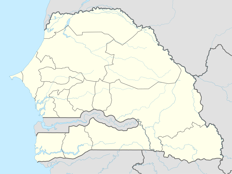 XLS Location within Senegal | |||||||||||||||
| Runways | |||||||||||||||
| |||||||||||||||
Saint-Louis Airport (French: Aéroport de Saint-Louis) (IATA: XLS, ICAO: GOSS) is an airport serving Saint-Louis, the capital of the Saint-Louis Region in Senegal. Saint-Louis is located near the Senegal River, and served as the Senegal's capital until independence in 1960. It is 320 km (199 mi) north of Senegal's current capital in Dakar.
References
- ↑ Airport information for GOSS from DAFIF (effective October 2006)
- ↑ Airport information for XLS at Great Circle Mapper. Source: DAFIF (effective October 2006).
External links
- Current weather for GOSS - Saint-Louis, Senegal at NOAA/NWS
- Accident history for XLS at Aviation Safety Network
This article is issued from Wikipedia - version of the 7/2/2015. The text is available under the Creative Commons Attribution/Share Alike but additional terms may apply for the media files.