Sørbø
This article is about the village in Rennesøy, Norway. For other uses, see Sorbo.
| Sørbø | |
|---|---|
| Village | |
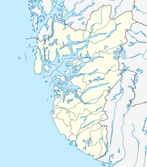 Sørbø 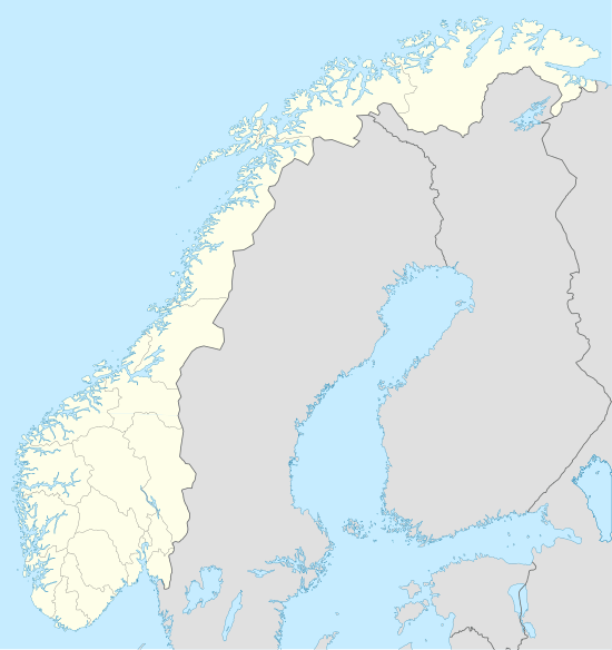 Sørbø Location in Rogaland county | |
| Coordinates: 59°07′40″N 05°38′31″E / 59.12778°N 5.64194°ECoordinates: 59°07′40″N 05°38′31″E / 59.12778°N 5.64194°E | |
| Country | Norway |
| Region | Western Norway |
| County | Rogaland |
| District | Ryfylke |
| Municipality | Rennesøy |
| Elevation[1] | 20 m (70 ft) |
| Time zone | CET (UTC+01:00) |
| • Summer (DST) | CEST (UTC+02:00) |
| Post Code | 4150 Rennesøy |
Sørbø is a village in Rennesøy municipality in Rogaland county, Norway. The village is located along the Boknafjorden on the northwestern shore of the island of Rennesøy. The village sits along the European route E39 highway and it is the location of the Sørbø Church. There has been a church at this site since the year 1130.[2]
References
- ↑ "Sørbø, Rennesøy (Rogaland)" (in Norwegian). yr.no. Retrieved 2015-12-18.
- ↑ Store norske leksikon. "Sørbø" (in Norwegian). Retrieved 2015-12-18.
This article is issued from Wikipedia - version of the 8/4/2016. The text is available under the Creative Commons Attribution/Share Alike but additional terms may apply for the media files.