Riner Historic District
|
Riner Historic District | |
 | |
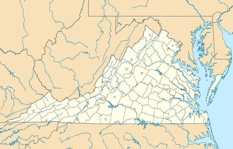  | |
| Location | Roughly, E and S of jct. of Main St. and Franklin Sts., Riner, Virginia |
|---|---|
| Coordinates | 37°3′57″N 80°26′23″W / 37.06583°N 80.43972°WCoordinates: 37°3′57″N 80°26′23″W / 37.06583°N 80.43972°W |
| Area | 22 acres (8.9 ha) |
| Architectural style | Greek Revival, Center-passage plan |
| MPS | Montgomery County MPS |
| NRHP Reference # | 90002006[1] |
| VLR # | 060-0044 |
| Significant dates | |
| Added to NRHP | January 10, 1991 |
| Designated VLR | June 20, 1989[2] |
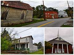
Riner Historic District is a national historic district located at Riner, Montgomery County, Virginia. The district encompasses 23 contributing buildings and 1 contributing structure in the village of Riner. It includes a variety of vernacular residential, commercial, and institutional buildings dating from the 1850s to 1920s. Notable buildings include the Methodist Episcopal Church (1908), Bank of Riner (1912–1913), Jonathan E. Hall House / Store, Kinsey-Lawrence House (1908-1909), Dr. Stone Farm, Surface Mill (c. 1910), Auburn United Methodist Church (1885), and Sam Barnett Store.[3]
It was listed on the National Register of Historic Places in 1991.[1]
References
- 1 2 National Park Service (2010-07-09). "National Register Information System". National Register of Historic Places. National Park Service.
- ↑ "Virginia Landmarks Register". Virginia Department of Historic Resources. Retrieved 5 June 2013.
- ↑ Gibson Worsham (June 1988). "National Register of Historic Places Inventory/Nomination: Riner Historic District" (PDF). Virginia Department of Historic Resources. and Accompanying photo and Accompanying map

This article is issued from Wikipedia - version of the 11/30/2016. The text is available under the Creative Commons Attribution/Share Alike but additional terms may apply for the media files.