Pukaqucha (Ancash)
This article is about the mountain in the Yungay Province, Ancash Region, Peru. For other uses, see Pukaqucha (disambiguation).
| Pukaqucha | |
|---|---|
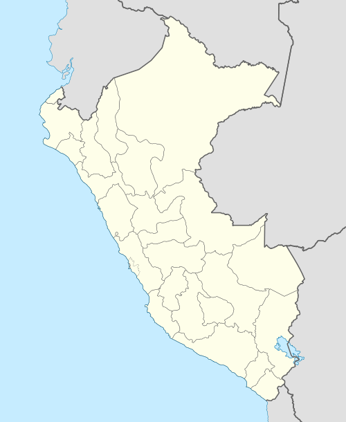 Pukaqucha Peru | |
| Highest point | |
| Elevation | 4,600 m (15,100 ft) [1] |
| Coordinates | 9°19′46″S 77°52′51″W / 9.32944°S 77.88083°WCoordinates: 9°19′46″S 77°52′51″W / 9.32944°S 77.88083°W |
| Geography | |
| Location | Peru, Ancash Region |
| Parent range | Andes, Cordillera Negra |
Pukaqucha (Quechua puka red, qucha lake,[2] "red lake", hispanicized spelling Pucacocha) is a mountain at a little lake of that name in the Cordillera Negra in the Andes of Peru, about 4,600 m (15,100 ft) high. It is situated in the Ancash Region, Yungay Province, on the border of the districts of Cascapara and Quillo. Pukaqucha lies between the Sechin River in the north and the Putaqa River in the south.[1]
The lake named Pukaqucha is at the foot of the mountain in the Cascapara District at 9°19′57″S 77°52′40″W / 9.33250°S 77.87778°W.[1]
References
External links
| Wikimedia Commons has media related to Cordillera Negra. |
This article is issued from Wikipedia - version of the 12/6/2015. The text is available under the Creative Commons Attribution/Share Alike but additional terms may apply for the media files.