Prud'homme, Saskatchewan
| Prud'homme | |
|---|---|
| Village | |
|
Railway Avenue | |
 Prud'homme  Prud'homme | |
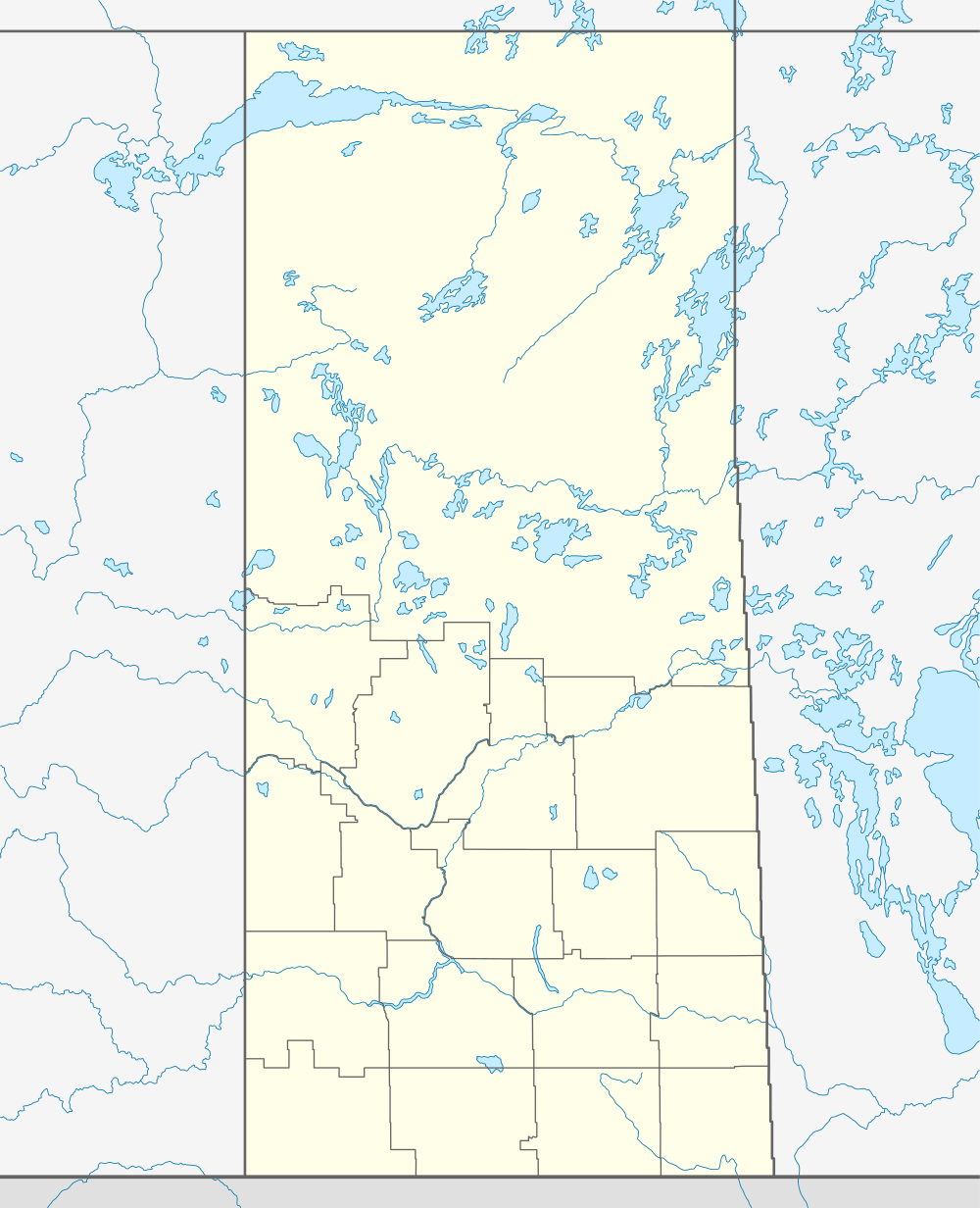
| Coordinates: 52°20′13″N 105°53′35″W / 52.337°N 105.893°W | |
| Country | Canada |
| Province | Saskatchewan |
| Region | Saskatchewan |
| Census division | 15 |
| Rural Municipality | Bayne |
| Post office Founded | February 1, 1906 |
| Incorporated (Village) | 1908 |
| Government | |
| • Mayor | Jarrod Lachapelle |
| • Administrator | Michelle Grimard |
| • Governing body | Prud'homme Village Council |
| Area | |
| • Total | 0.84 km2 (0.32 sq mi) |
| Population (2006) | |
| • Total | 167 |
| • Density | 198.7/km2 (515/sq mi) |
| Time zone | CST |
| Postal code | S0K 3K0 |
| Area code(s) | 306 |
| Highways | Highway 27 |
| Website | Village of Prud'homme |
| [1][2][3][4] | |

Prud'homme is a village in the Canadian province of Saskatchewan, located approximately 60 kilometres (37 miles) northeast of Saskatoon. Prud'homme was first known by the name of Bluebell Ranch, then Lally Siding. In 1905 the railroad came through and renamed it Marcotte's Crossing, two years later it became known as Howell, and finally in 1922 it was later named after the bishop Msgr. Joseph H. Prud'homme.[5] The community is mostly based on agriculture.
The population is mostly made up of Ukrainian, Hungarian, Polish and Fransaskois communities. French is widely spoken among many of the older generations. There has been an increase in French speakers among the youth due to the francophone school of École Providence, in the nearby town of Vonda.
Main attractions: Town jail, Jeanne Sauvé park, Museum, The Let Go, Robinhood tree and Wildlife conservation area (Ducks unlimited)
Demographics
| Canada census – Prud'homme, Saskatchewan community profile | |||
|---|---|---|---|
| 2011 | 2006 | ||
| Population: | 172 (-3.0% from 2006) | 167 (-17.7% from 2001) | |
| Land area: | 0.84 km2 (0.32 sq mi) | 0.84 km2 (0.32 sq mi) | |
| Population density: | 204.7/km2 (530/sq mi) | 198.7/km2 (515/sq mi) | |
| Median age: | 40 (M: 40.5, F: 38.5) | 46.9 (M: 46.2, F: 48.5) | |
| Total private dwellings: | 86 | 87 | |
| Median household income: | $NA | $NA | |
| References: 2011[6] 2006[7] | |||
Notable Prud'hommers
- Jeanne Sauvé- former Governor General of Canada, first female at this position
See also
References
- ↑ National Archives, Archivia Net, Post Offices and Postmasters
- ↑ Government of Saskatchewan, MRD Home. "Municipal Directory System". Retrieved 2013-11-25.
- ↑ Canadian Textiles Institute. (2005), CTI Determine your provincial constituency
- ↑ Commissioner of Canada Elections, Chief Electoral Officer of Canada (2005), Elections Canada On-line
- ↑ Russell, E. T. (1973), What's in a name?: Travelling through Saskatchewan with the story behind 1600 place-names (2 ed.), Western Producer Book Service, ISBN 978-0-919306-39-4
- ↑ "2011 Community Profiles". Canada 2011 Census. Statistics Canada. July 5, 2013. Retrieved 2012-11-18.
- ↑ "2006 Community Profiles". Canada 2006 Census. Statistics Canada. March 30, 2011. Retrieved 2009-02-24.
External links
- 2001 Community Profiles
- GeoNames Query
- Online Historical Map Digitization Project
- Post Offices and Postmasters - ArchiviaNet - Library and Archives Canada
- Prud'homme Village Council
- Saskatchewan City & Town Maps
- Saskatchewan Gen Web Region
- Saskatchewan Gen Web - One Room School Project
- Saskatchewan Roman Catholic Churches ~ Online Parish Registers ~ History >> Howell / Prud'homme
 |
Alvena | Cudworth | | |
| Vonda | |
Bremen | ||
| ||||
| | ||||
| Meacham | Dana |
| Subdivisions | |
|---|---|
| Communities | |
| Cities | |
| Topics |
|
| |
Coordinates: 52°20′13″N 105°53′35″W / 52.337°N 105.893°W