Pliskowola
| Pliskowola | |
|---|---|
| Village | |
 Pliskowola | |
| Coordinates: 50°30′49″N 21°23′28″E / 50.51361°N 21.39111°E | |
| Country |
|
| Voivodeship | Świętokrzyskie |
| County | Staszów |
| Gmina | Osiek |
| Sołectwo | Pliskowola[1] |
| Elevation | 171.8 m (563.6 ft) |
| Population (31 December 2009 at Census)[2] | |
| • Total |
|
| Time zone | CET (UTC+1) |
| • Summer (DST) | CEST (UTC+2) |
| Postal code | 28-221 |
| Area code(s) | +48 15 |
| Car plates | TSZ |
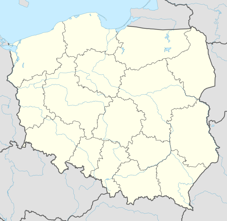
Pliskowola[3][4][5] [pliskɔˈvɔla] is a village in the administrative district of Gmina Osiek, within Staszów County, Świętokrzyskie Voivodeship, in south-central Poland. It lies approximately 4 kilometres (2 mi) west of Osiek, 17 km (11 mi) east of Staszów, and 69 km (43 mi) south-east of the regional capital Kielce.[6]
The village has a population of ![]() 1,034.
1,034.
Demography
According to the 2002 Poland census, there were 1,087 people residing in Pliskowola village, of whom 51% were male and 49% were female. In the village, the population was spread out with 26.2% under the age of 18, 39% from 18 to 44, 18% from 45 to 64, and 16.8% who were 65 years of age or older.[2]
Table 1. Population level of village in 2002 — by age group[2] SPECIFICATION Measure
unitPOPULATION
(by age group in 2002)TOTAL 0-9 10-19 20-29 30-39 40-49 50-59 60-69 70-79 80 + I. TOTAL person 1,087 156 160 185 141 146 103 73 99 24 — of which in % 100 14.4 14.7 17 13 13.4 9.5 6.7 9.1 2.2 1. BY SEX A. Males person 554 81 68 104 85 84 52 28 42 10 — of which in % 51 7.5 6.2 9.6 7.8 7.7 4.8 2.6 3.9 0.9 B. Females person 533 75 92 81 56 62 51 45 57 14 — of which in % 49 6.9 8.5 7.4 5.2 5.7 4.7 4.1 5.2 1.3
Figure 1. Population pyramid of village in 2002 — by age group and sex[2]
Table 2. Population level of village in 2002 — by sex[2] SPECIFICATION Measure
unitPOPULATION
(by sex in 2002)TOTAL Males Females I. TOTAL person 1,087 554 533 — of which in % 100 51 49 1. BY AGE GROUP A. At pre-working age person 285 136 149 — of which in % 26.2 12.5 13.7 B. At working age, grand total person 620 352 268 — of which in % 57 32.4 24.6 a. at mobile working age person 424 242 182 — of which in % 39 22.3 16.7 b. at non-mobile working age person 196 110 86 — of which in % 18 10.1 7.9 C. At post-working age person 182 66 116 — of which in % 16.8 6.1 10.7

Former parts of village — physiographic objects
In the years 1970 of last age, sorted and prepared out list part of names of localities for Pliskowola, what you can see in table 3.
Table 3. Index of official names of localities and physiographic objects[7] Names of village — town Names of part of village
— townNames of physiographic objects
— nature of objectsI. Gromada OSIEK
- Pliskowola
- Błonie
- Cyrglówka
- Dół
- Gajówka Pliskowol-
ska- Góry
- Kały
- Mała Wola
- Podlesie
- Przerwa
- Skotnia
- Zabłonie
- Błonie — bogs, ponds
- Brodki — swamp, sands
- Cenasiów Ogród — field
- Cyrglówka — field
- Dolskie Pola — field, meadow
- Dół — field
- Dziedziuchowe Dołki (Dzieduchowe Dołki) — forest
- Gluzieniec — meadow, pasture
- Góra Cyrglowska — field
- Góra Stawiskowa — field
- Górskie Pastwiska — field
- Górskie Pola — field
- Góry — field
- Jamrozi Dół — defile
- Kalaźnica — meadow
- Kalugi — marsh, meadow
- Kały — field, meadow
- Łęczna Góra — forest
- Ługi – field
- Mała Wola — field
- Małowolskie — field
- Mogiła — forest
- Pastwiska Dolskie — field, pasture
- Piachy — wasteland
- Pliska — meadow
- Pliśnia Góra — field, wasteland
- Pod Łęczną Górą — pasture, field
- Pod Trzciańską Górą — pasture
- Podlesie — field
- Podleściańskie Pola — field
- Porąbka — pasture
- Poręby — meadow, field
- Posada — field
- Przerwa — field
- Rakownica — forest
- Skotnia — field
- Stawiska — meadow, swamp
- Smużek — forest
- Strugi — field
- Strzegomka — brook
- Wierzchowiska — forest, alders forest
- Zabłońskie Pola — field, meadow
- Zajedle — forest
References
- ↑ Rękas, Przemysław (16 January 2012). "Wykaz sołectw Gminy Osiek" [List of sołectwos of Commune and Municipality Office of Osiek]. The administrative power / An estate in Osiek and index of sołectwos (in Polish). Public Information Bulletin of Commune and Municipality Office of Osiek, Poland. bip.osiek.iap.pl. Retrieved 19 January 2012.
- 1 2 3 4 5 "Local Data Bank (Bank Danych Lokalnych) – Layout by NTS nomenclature (Układ wg klasyfikacji NTS)". demografia.stat.gov.pl: GUS. 10 March 2011.
- ↑ Bielec, Jan (ed.); Szwałek, Stanisława (1981). Wykaz urzędowych nazw miejscowości w Polsce. T. II: K – P [List of official names of localities in Poland, Vol. II: K – P] (in Polish). Ministry of Administration, Spatial Economy and Environmental Protection (1st ed.). Warsaw, Poland: Central Statistical Office.
- ↑ Sitek, Janusz (1991). Nazwy geograficzne Rzeczypospolitej Polskiej [Geographical names of the Republic of Poland] (in Polish). Ministry of Physical Planning and Construction, Surveyor General of Poland, Council of Ministers' Office, Commission for Establishing Names of Localities and Physiographical Objects (1st ed.). Warsaw, Poland: Eugeniusz Romer State Cartographical Publishing House. ISBN 83-7000-071-1.
- ↑ "Pliskowola, wieś, gmina Osiek — obszar wiejski, powiat staszowski, województwo świętokrzyskie" [Pliskowola, village, Osiek Commune — rural area, Staszów County, Świętokrzyskie Province, Poland]. Topographical map prepared in 1:10,000 scale. Aerial and satellite orthophotomap (in Polish). Head Office of Geodesy and Cartography, Poland, Warsaw. 2011. geoportal.gov.pl. Retrieved 27 April 2011.
- ↑ "Central Statistical Office (GUS) – TERYT (National Register of Territorial Land Apportionment Journal)" (in Polish). 2008-06-01.
- ↑ Cf. Kaczmarek, Leon (ed.); Taszycki, Witold (1970). Urzędowe nazwy miejscowości i obiektów fizjograficznych. 33. Powiat staszowski województwo kieleckie [Official Names of Localities and Physiographic Objects. 33. Staszów County Kielce Voivodeship] (in Polish). Commission for Establishing Names of Localities and Physiographic Objects (to business use). Vol. 33. Warsaw, Poland: Council of Ministers' Office. Cabinet Office for bureaux of the Supervisory Boards. pp. 30–32, 77–81, 84, 86–91, 93–95.
| Town and seat |  | ||||||
|---|---|---|---|---|---|---|---|
| Parts of town |
| ||||||
| Villages |
| ||||||
| Parts of village |
| ||||||
| Colony | |||||||
| Hamlet |
| ||||||
| Smaller locality |
| ||||||
Coordinates: 50°30′52″N 21°23′16″E / 50.51444°N 21.38778°E