Pleasant Point (Scotland, Virginia)
|
Pleasant Point | |
|
Pleasant Point, HABS Photo | |
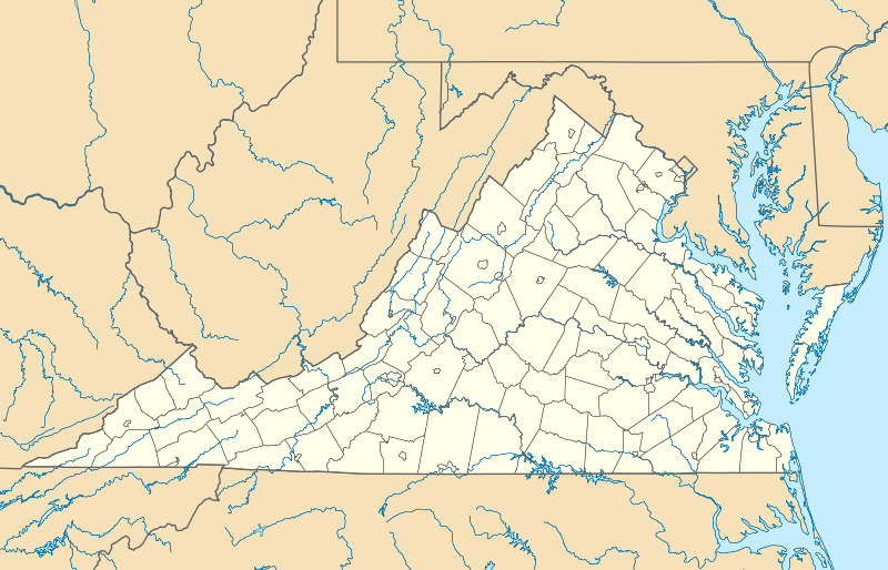  | |
| Location | 1 mi. S of Scotland on VA 637, near Scotland, Virginia |
|---|---|
| Coordinates | 37°10′25″N 76°46′32″W / 37.17361°N 76.77556°WCoordinates: 37°10′25″N 76°46′32″W / 37.17361°N 76.77556°W |
| Area | 12 acres (4.9 ha) |
| Built | c. 1724 |
| NRHP Reference # | 76002122[1] |
| VLR # | 090-0040 |
| Significant dates | |
| Added to NRHP | July 16, 1976 |
| Designated VLR | September 17, 1975[2] |
.jpg)
Pleasant Point, also known as Crouches Creek Plantation, is a historic home located near Scotland, Surry County, Virginia. It was built about 1724, and is a 1 1/2-story, double pile frame dwelling with brick ends. It has a gable roof and originally had a hall-parlor plan, later modified to a central-hall plan. The interior woodwork was largely replaced in the 1950s. Also on the property are the contributing dairy, smokehouse, and a four-step terrace leading down to the bluffs overlooking the James River.[3]
It was listed on the National Register of Historic Places in 1976.[1]
References
- 1 2 National Park Service (2010-07-09). "National Register Information System". National Register of Historic Places. National Park Service.
- ↑ "Virginia Landmarks Register". Virginia Department of Historic Resources. Retrieved 5 June 2013.
- ↑ Virginia Historic Landmarks Commission Staff (July 1974). "National Register of Historic Places Inventory/Nomination: Pleasant Point" (PDF). Virginia Department of Historic Resources. and Accompanying photo
External links
- Point Pleasant, Surry County Courthouse vicinity, Surry, Surry County, VA: 2 photos and 1 measured drawing at Historic American Buildings Survey

This article is issued from Wikipedia - version of the 11/30/2016. The text is available under the Creative Commons Attribution/Share Alike but additional terms may apply for the media files.