Pheta
For the traditional headwear associated with the Indian state of Maharashtra, see Pheta (turban).
| Pheta फेटा | |
|---|---|
| Village Development Committee | |
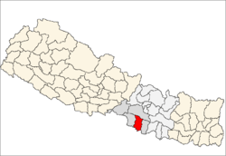
 Pheta Location in Nepal | |
| Coordinates: 27°01′N 84°56′E / 27.01°N 84.94°ECoordinates: 27°01′N 84°56′E / 27.01°N 84.94°E | |
| Country |
|
| Zone | Narayani Zone |
| District | Bara District |
| Population (1991) | |
| • Total | 4,337 |
| Time zone | Nepal Time (UTC+5:45) |
Pheta (Nepali: फेता) is a town and Village Development Committee in Bara District in the Narayani Zone of south-eastern Nepal. At the time of the 1991 Nepal census it had a population of 4,337 persons living in 646 individual households.[1]
References
- ↑ "Nepal Census 2001". Nepal's Village Development Committees. Digital Himalaya. Retrieved 21 September 2008.
External links
This article is issued from Wikipedia - version of the 8/31/2014. The text is available under the Creative Commons Attribution/Share Alike but additional terms may apply for the media files.