Pharsalia (Tyro, Virginia)
|
Pharsalia | |
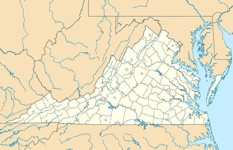  | |
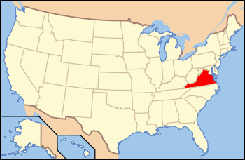
| Location | 2325 Pharsalia Rd., Tyro, Virginia |
|---|---|
| Coordinates | 37°48′07″N 79°01′23″W / 37.80194°N 79.02306°WCoordinates: 37°48′07″N 79°01′23″W / 37.80194°N 79.02306°W |
| Area | 23.5 acres (9.5 ha) |
| Built | c. 1814-1816, c. 1834 |
| Built by | Massie, Thomas; et al. |
| Architectural style | Federal |
| NRHP Reference # | 09000395[1] |
| VLR # | 062-0428 |
| Significant dates | |
| Added to NRHP | June 3, 2009 |
| Designated VLR | March 19, 2009[2] |
Pharsalia is a historic plantation house and farm complex located near Tyro, Nelson County, Virginia. The main house was built between 1814 and 1816, and is a one-story, 11 bay, linear, single-pile, Federal style, frame manor house. It has a standing seam metal gable roof and features a three-bay porch with a gable roof. It was enlarged in the mid-19th century to its current T-shaped plan. Also on the property are the contributing kitchen / laundry / slave hospital (1834), icehouse / School (c. 1834), crib barn (c. 1830), smokehouse (1814), weaving Room (c. 1814), several slave quarters (c. 1814, 1834), and privy (c. 1814). Also on the property are the sites of a commercial smokehouse (c. 1830) and mill (c. 1830).[3]
It was listed on the National Register of Historic Places in 2009.[1]
References
- 1 2 National Park Service (2010-07-09). "National Register Information System". National Register of Historic Places. National Park Service.
- ↑ "Virginia Landmarks Register". Virginia Department of Historic Resources. Retrieved 5 June 2013.
- ↑ Sandra F. Esposito (June 2009). "National Register of Historic Places Inventory/Nomination: Pharsalia" (PDF). Virginia Department of Historic Resources. and Accompanying four photos