Penderlea Homesteads Historic District
|
Penderlea Homesteads Historic District | |
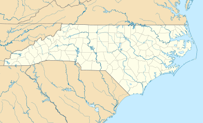  | |
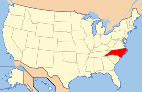
| Location | Bounded by Sills Cr., Webber, Crooked Run, Lake, Lamb & Raccoon Rds., near Willard, North Carolina |
|---|---|
| Coordinates | 34°39′34″N 78°02′59″W / 34.65944°N 78.04972°WCoordinates: 34°39′34″N 78°02′59″W / 34.65944°N 78.04972°W |
| Area | 57 acres (23 ha) |
| Built | c. 1934 |
| Architect | Nolen, John; Stearns and Stanton |
| Architectural style | Art Deco |
| NRHP Reference # | 13000803[1] |
| Added to NRHP | September 27, 2013 |
Penderlea Homesteads Historic District is a national historic district located near Willard, Pender County, North Carolina. The district encompasses 186 contributing buildings, 2 contributing sites, and 9 contributing structures in a rural section of Pender County. The district includes a collection of community buildings and houses constructed as part of the Penderlea Homesteads New Deal project. It includes 88 one-story, frame dwellings constructed as part of the original homestead project. Penderlea was the first experimental farm-city colony established by the United States government through the United States Department of the Interior’s Division of Subsistence Homesteads.[2]
It was listed on the National Register of Historic Places in 2013.[1]
References
- 1 2 "National Register of Historic Places Listings". Weekly List of Actions Taken on Properties: 9/16/13 through 9/30/13. National Park Service. 2013-10-18.
- ↑ Jennifer Martin Mitchell (June 2013). "Penderlea Homesteads Historic District" (pdf). National Register of Historic Places - Nomination and Inventory. North Carolina State Historic Preservation Office. Retrieved 2015-02-01.