Pawka
| Pawka | |
|---|---|
 Pawka Peru | |
| Highest point | |
| Elevation | 5,129 m (16,827 ft) [1] |
| Coordinates | 14°26′24″S 71°09′25″W / 14.44000°S 71.15694°WCoordinates: 14°26′24″S 71°09′25″W / 14.44000°S 71.15694°W |
| Geography | |
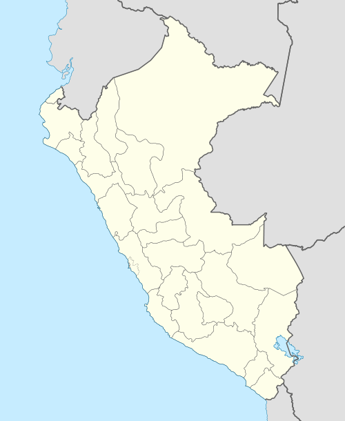
| Location | Peru, Cusco Region |
| Parent range | Andes |
Pawka (Quechua for a plant (Escallonia herrerae),[2] Hispanicized spellings Pauca, Paucca) is a 5,129-metre-high (16,827 ft) mountain in the Andes of Peru. It is located in the Cusco Region, Canas Province, Layo District, and in the Canchis Province, Marangani District. Pawka lies east of Langui Layo Lake.[3][4]
References
- ↑ "Cerro Pauca". IGN, Peru. Retrieved August 3, 2015.
- ↑ Diagnóstico y Plan Maestro del Santuario Nacional de Ampay, 7. Flora y Fauna del SN de Ampay
- ↑ escale.minedu.gob.pe - UGEL map of the Canchis Province (Cusco Region) (unnamed)
- ↑ Peru 1:250,000, Sicuani SD 19-09, Map prepared and published by the Defense Mapping Agency, Hydrographic/Topographic Center, Bethesda, MD
This article is issued from Wikipedia - version of the 4/29/2016. The text is available under the Creative Commons Attribution/Share Alike but additional terms may apply for the media files.