Pachal, Thiruvannamalai
| Pachal | |
|---|---|
| village | |
 Pachal 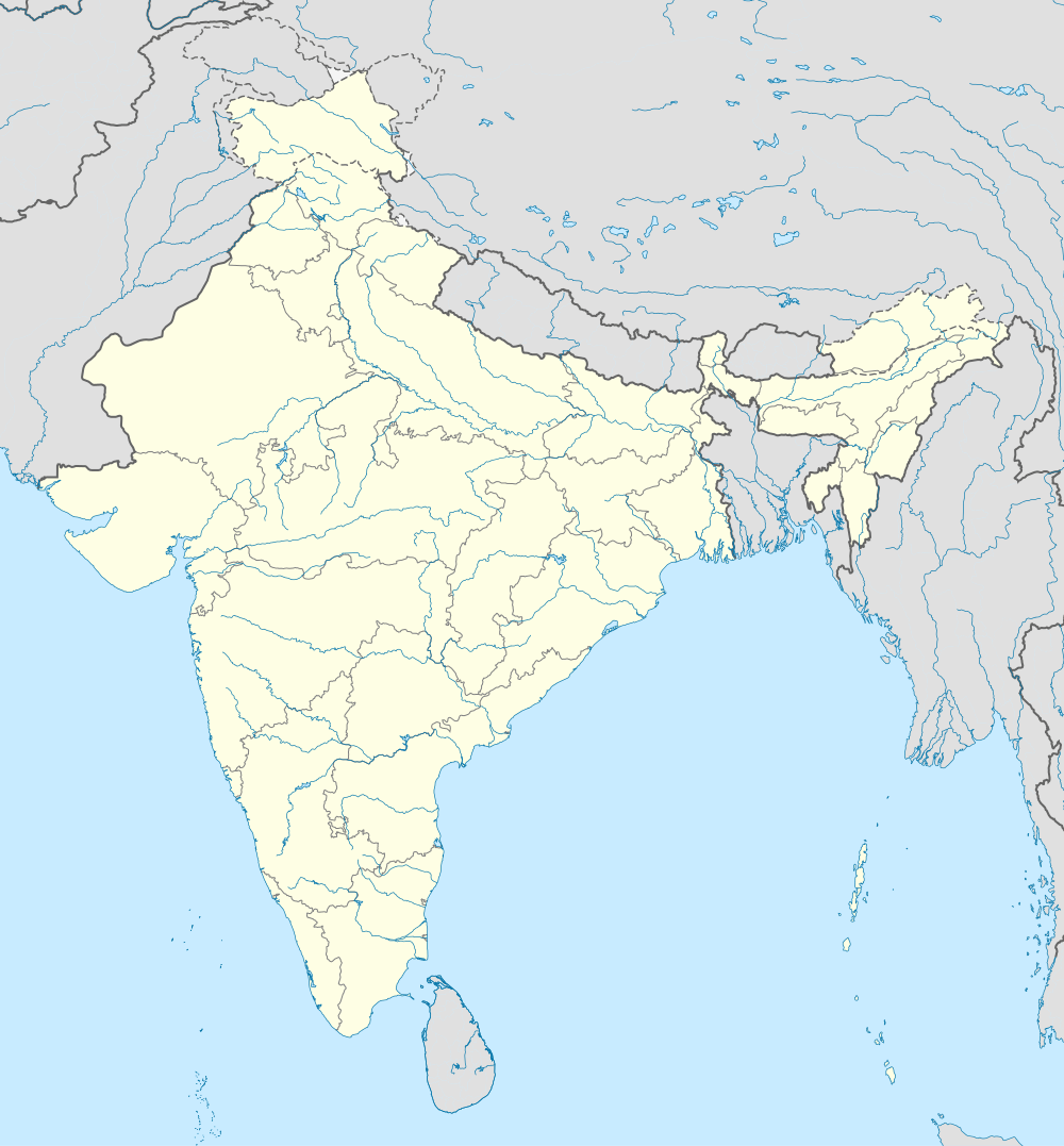 Pachal Location in Tamil Nadu, India | |
| Coordinates: 12°16′0″N 78°56′0″E / 12.26667°N 78.93333°ECoordinates: 12°16′0″N 78°56′0″E / 12.26667°N 78.93333°E | |
| Country |
|
| State | Tamil Nadu |
| District | Tiruvannamalai |
| Elevation | 298 m (978 ft) |
| Languages | |
| • Official | Tamil |
| Time zone | IST (UTC+5:30) |
| PIN | 606704 |
Pachal is a village in Tiruvannamalai district, Tamil Nadu, India.
Geography
It is located at an elevation of 298 m from MSL.[1]
Location
National Highway 66 passes through Pachal.
References
- ↑ http://www.fallingrain.com/world/IN/25/Pachchal.html Map and weather of Pachal
External links
This article is issued from Wikipedia - version of the 8/25/2016. The text is available under the Creative Commons Attribution/Share Alike but additional terms may apply for the media files.