Noordoewer
| Noordoewer | |
|---|---|
|
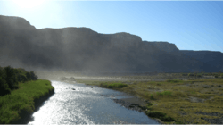
The Orange River on the border bridge between Noordoewer and Vioolsdrif. Extreme heat and sunlight cause visible evaporation. | |
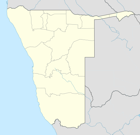 Noordoewer Location in Namibia | |
| Coordinates: 28°45′S 17°37′E / 28.750°S 17.617°E | |
| Country |
|
| Region | ǁKaras Region |
| Constituency | Karasburg Constituency |
| Time zone | South African Standard Time (UTC+1) |
Noordoewer is a town in the ǁKaras Region of southern Namibia. Its name means 'North Bank' in Afrikaans, in reference to the north bank of the Orange River, on which it is located. The village lies opposite the South African town of Vioolsdrif, to which it is connected by the road bridge which forms the northern end of the South African N7 and the southern end of the Namibian B1.
Noordoewer is known for grape production and Canoeing and is an important border post on a crucial transport route between the two countries. It is planned to upgrade its status to that of a town.[1]
References
- ↑ Sasman, Catherine (10 November 2010). "Karas profile". New Era.
Coordinates: 28°45′S 17°37′E / 28.750°S 17.617°E
This article is issued from Wikipedia - version of the 11/26/2016. The text is available under the Creative Commons Attribution/Share Alike but additional terms may apply for the media files.