Mount Cordonnier
| Mount Cordonnier | |
|---|---|
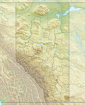 Mount Cordonnier Location in Alberta and British Columbia | |
| Highest point | |
| Elevation | 3,012 m (9,882 ft) [1] |
| Prominence | 177 m (581 ft) |
| Coordinates | 50°33′00″N 115°13′59″W / 50.55000°N 115.23306°WCoordinates: 50°33′00″N 115°13′59″W / 50.55000°N 115.23306°W |
| Geography | |
| Location |
Alberta British Columbia |
| Topo map | NTS 82J/11 |
| Climbing | |
| First ascent | 1930 Katie Gardiner, Walter Fuez |
| Easiest route | Scrambling Routes |
Mount Cordonnier is located on the border of Alberta and British Columbia on the Continental Divide. It was named in 1918 after General Victor Louis Emilien Cordonnier.[2][1][3]
See also
- List of peaks on the British Columbia-Alberta border
- Mountains of Alberta
- Mountains of British Columbia
References
- 1 2 PeakFinder
- ↑ Alan Kane, Scrambles in the Canadian Rockies, (Rocky Mountain Books, 2008), 169.
- ↑ Mount Cordonnier
This article is issued from Wikipedia - version of the 7/25/2011. The text is available under the Creative Commons Attribution/Share Alike but additional terms may apply for the media files.