Moose Jaw Municipal Airport
| Moose Jaw Municipal Airport | |||||||||||
|---|---|---|---|---|---|---|---|---|---|---|---|
| IATA: none – ICAO: none – TC LID: CJS4 | |||||||||||
| Summary | |||||||||||
| Airport type | Public | ||||||||||
| Operator | Provincial Airways | ||||||||||
| Location | Moose Jaw No. 161, near Moose Jaw, Saskatchewan | ||||||||||
| Time zone | CST (UTC−06:00) | ||||||||||
| Elevation AMSL | 1,904 ft / 580 m | ||||||||||
| Coordinates | 50°26′05″N 105°23′16″W / 50.43472°N 105.38778°WCoordinates: 50°26′05″N 105°23′16″W / 50.43472°N 105.38778°W | ||||||||||
| Map | |||||||||||
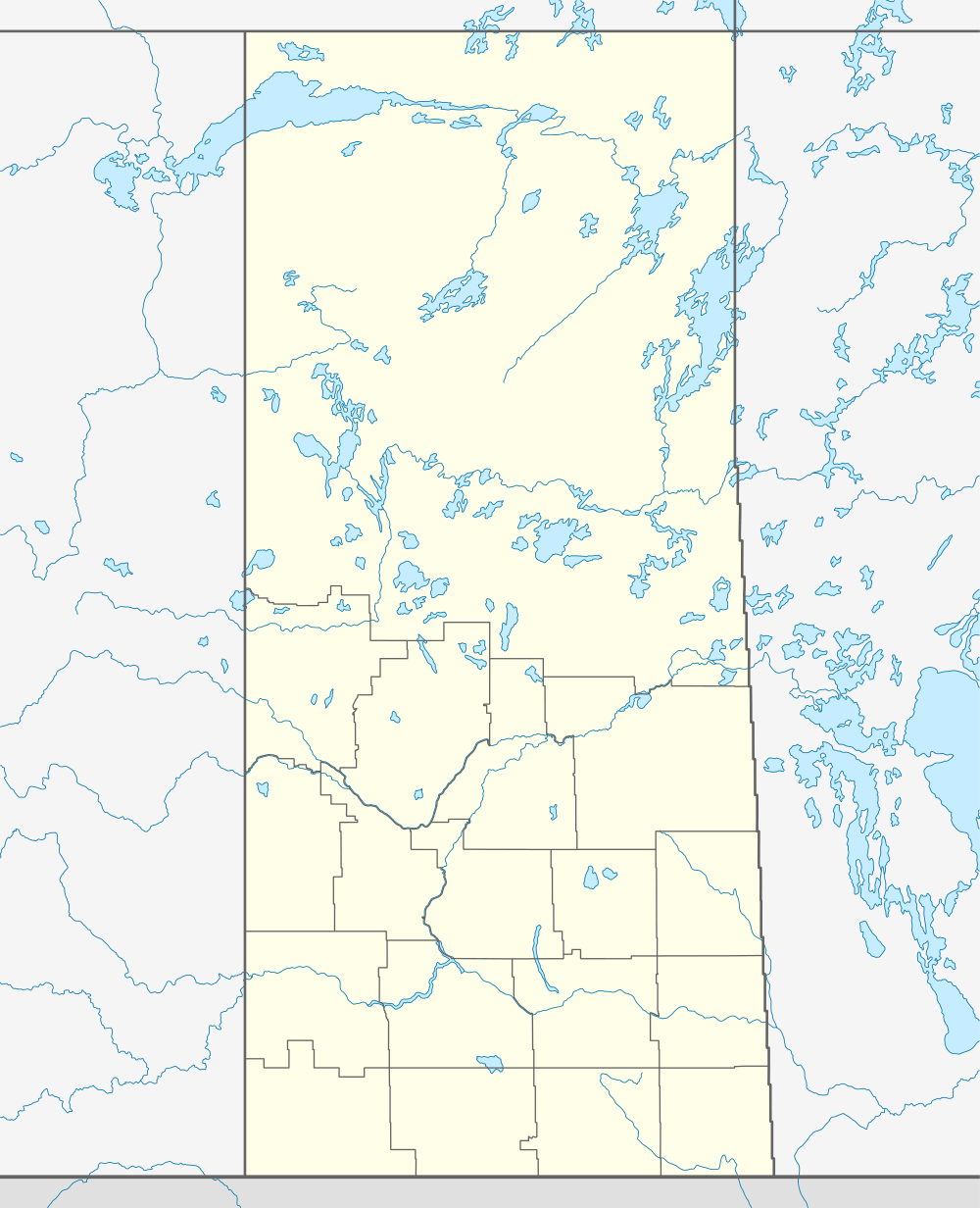 CJS4  CJS4 Location in Saskatchewan | |||||||||||
| Runways | |||||||||||
| |||||||||||
|
Source: Canada Flight Supplement[1] | |||||||||||
Moose Jaw Municipal Airport, (TC LID: CJS4), is a general aviation facility located 7 nautical miles (13 km; 8.1 mi) east northeast of Moose Jaw, Saskatchewan, Canada.
It has a single paved runway and series of hangars and support structures.
Ground Transportation
The airport is connected with Moose Jaw by Highway 301 (connecting with Trans Canada Highway-Saskatchewan Highway of Heros) to westside of the airport. A dirt drive leads out to the road. Cars can park along the grass/dirt next to the tarmac.
Tenants
- Skydive South Sask - Regina based skydiving school uses the airport as drop zone.[2]
- Moose Jaw Flying Club
- Provincial Airways - FBO [3]
See also
- Moose Jaw/Air Vice Marshal C.M. McEwen Airport - larger military airport located south of Moose Jaw.
- Regina International Airport - closest public civil airport
References
- ↑ Canada Flight Supplement. Effective 0901Z 15 September 2016 to 0901Z 10 November 2016
- ↑ https://www.skydivesouthsask.ca/faq.php
- ↑ http://provincialairways.net/
| By name | |
|---|---|
| By location indicator | |
| By province/territory | |
| By region | |
| National Airports System | |
| Related | |
| |
This article is issued from Wikipedia - version of the 12/4/2016. The text is available under the Creative Commons Attribution/Share Alike but additional terms may apply for the media files.