Monsampietro Morico
| Monsampietro Morico | ||
|---|---|---|
| Comune | ||
| Comune di Monsampietro Morico | ||
| ||
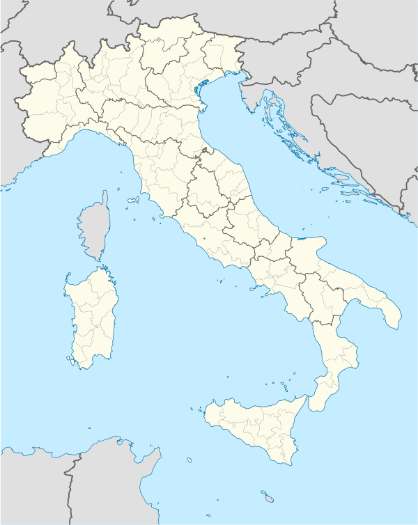 Monsampietro Morico Location of Monsampietro Morico in Italy | ||
| Coordinates: 43°4′N 13°33′E / 43.067°N 13.550°E | ||
| Country | Italy | |
| Region | Marche | |
| Province / Metropolitan city | Fermo | |
| Frazioni | Sant'Elpidio Morico | |
| Government | ||
| • Mayor | Romina Gualtieri | |
| Area | ||
| • Total | 9.6 km2 (3.7 sq mi) | |
| Elevation | 289 m (948 ft) | |
| Population (31 October 2009[1]) | ||
| • Total | 707 | |
| • Density | 74/km2 (190/sq mi) | |
| Demonym(s) | Monsampietrini | |
| Time zone | CET (UTC+1) | |
| • Summer (DST) | CEST (UTC+2) | |
| Postal code | 63029 | |
| Dialing code | 0734 | |
| Website | Official website | |

Monsampietro Morico is a comune (municipality) in the Province of Fermo in the Italian region Marche, located about 70 kilometres (43 mi) south of Ancona, about 35 kilometres (22 mi) north of Ascoli Piceno and 20 kilometres (12 mi) of Fermo. It was founded in 1061 as a castle (rebuilt in the 15th century) under a Norman count from Apulia. Later it was part of the de Varano seigniory and, from 1415 to 1416, of Carlo Malatesta's lands. It is also home to a 13th-century Romanesque church, dedicated to St. Paul.
Monsampietro Morico borders the following municipalities: Belmonte Piceno, Monte Rinaldo, Monteleone di Fermo, Montelparo, Montottone.
References
Creating Category:1061 establishments
This article is issued from Wikipedia - version of the 8/30/2015. The text is available under the Creative Commons Attribution/Share Alike but additional terms may apply for the media files.