Mistatim, Saskatchewan
| Mistatim Cree: "Big Dog" | |
|---|---|
| Village | |
| Motto: Proud of its Past ..... Planning for its Future. | |
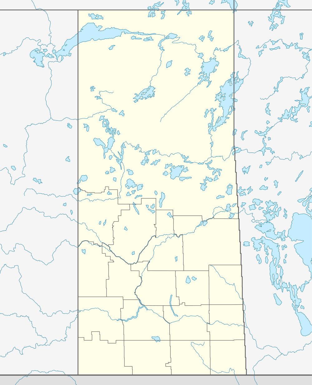  Location of Mistatim in Saskatchewan | |
| Coordinates: 52°52′01″N 103°21′25″W / 52.867°N 103.357°W | |
| Country | Canada |
| Province | Saskatchewan |
| Region | Central Saskatchewan |
| Census division | 14 |
| Rural Municipality | Bjorkdale No. 426 |
| Post office Founded | 1907 |
| Government | |
| • Mayor | Gene Legare |
| • Administrator | Cathy Murray |
| • Governing body | Mistatim Village Council |
| Area | |
| • Total | 0.47 km2 (0.18 sq mi) |
| Population (2011) | |
| • Total | 73 |
| • Density | 155/km2 (400/sq mi) |
| Time zone | CST |
| Postal code | S0E 1B0 |
| Area code(s) | 306 |
| Highways |
|
| Website | |
| [1][2][3][4] | |
Mistatim (2011 population 73) is a village in Bjorkdale Rural Municipality No. 426, Saskatchewan located just to the north of Sk Hwy 3.[5] Mistatim is 35 miles (56 km) east of the town of Tisdale and 40 miles (64 km) west of Hudson Bay. The Greenwater Lake Provincial Park is 30 miles (48 km) to the south.[6] The village has its own village civic government within the rural municipal government of R.M. of Bjorkdale # 426 The Mistatim post office first opened in 1907 and closed down in 1914, to re-open in 1917. Mistatim Station post office was established in 1930, with a change of name to Mistatim in 1938.[7] The early village was a settlement of Germans, Hungarians, French and Scots.[8] Early surveying and settlement in the area was difficult in this heavily forested area without roads, and several muskeg areas could not be crossed until winter freeze up. Mistatim is located south of the Pasquia Forest Reserve, and north of the Porcupine Forest Reserve.[5] The Cree word Mistatim literally translates to big dog, in reference to horses.[9]
Demographics
| Canada census – Mistatim, Saskatchewan community profile | |||
|---|---|---|---|
| 2011 | 2006 | 2001 | |
| Population: | 73 (-18% from 2006) | 89 (-14.4% from 2001) | 104 (-8.8% from 1996) |
| Land area: | 0.47 km2 (0.18 sq mi) | 0.47 km2 (0.18 sq mi) | 0.47 km2 (0.18 sq mi) |
| Population density: | 155/km2 (400/sq mi) | 188.9/km2 (489/sq mi) | 220.8/km2 (572/sq mi) |
| Median age: | 50.8 (M: 48.0, F: 54.8) | 46.5 (M: 44.0, F: 51.0) | |
| Total private dwellings: | 43 | 49 | 50 |
| Median household income: | |||
| References: 2011[10] 2006[11] 2001[12] | |||
Transportation
As early as April 2, 1905 Mistatim Siding was located at SW 1/4 Section 15, Township 45, Range 10 West of the 2nd Meridian on the CNR railway. Mistatim was located on the Neepawa - Dauphin - Hudson Bay Junction - The Pas - Prince Albert - North Battleford CNR Branch Line. Mistatim was a station located at mile 436 between Bannock and Peesane.[13] Passenger service via the CNR stopped in 1977.[5] The Shaw railway was a private railway about 30 miles (48 km) long providing logging transportation.[5] Access to Mistatim presently is via Sk Hwy 3 which underwent micro-resurfacing during the summer of 2008 for a length of 5 kilometres (3.1 mi).[14]
Economy
Mistatim is a member of the EDEN Regional Economic Development Authority (REDA) which was formed in 1995. This REDA is one of 31 in the province which organise together municipal governments, businesses, and co-ops to encourage tourism, investment, economic and recreational activities in the area.[15] Located south of the tree line in the province of Saskatchewan, Mistatim is home to both agricultural mixed farming and forestry as an economic base.[16] The Mistatim cemetery is located at SE Section 15- Township 45- Range 10 West of the 2nd Meridian. The first burial was in 1936, and by 1999, there have been transcribed 211 burials.[17]
Features and Attractions
Besides Greenwater Lake Provincial Park, there are several neighboring lakes which are stocked with fish. Deer, elk or moose hunting as well as duck hunting are activities in this heavily forested area.[6] The Mistatim bog situated in the southern boreal forest, features black spruce, moose and waterfowl.[18] This bog / fen area is protected under the Wildlife Habitat Protection Act.[19] The Golden Rods Senior Citizen Center provides recreational activities for the senior population.[6] A unique new feature in the Mistatim region is the Mistatim Castle. This two storey home constructed above a three car garage with duck pond is within a mile of the village.[18] The provincial government was petitioned in 2002 to encourage the Saskatchewan Snowmobile Association to provide groomed snowmobile trails in the area and the Mistatim Snow Packers Inc. has been established.[20][21] The Mistatim Arena was constructed as a part of the Canadian centennial project in 1967, and features ice rink and curling rink.[22]
Education
The Mistatim public library is part of the regional Wapiti Regional Library.[23] In 1929, a log school house was constructed on the site of the Mistatim school, and this log school building was demolished in 1940. Bachelor School District 5009 was first established in 1932.[5] In 1939 a new teacherage was constructed as well as a two-room school was finished.[8] This school was demolished in 1961, to be replaced by a modern school with a new gymnasium added in 1977. The former school building, which offered Kindergarten to grade 12, closed in 2001 and has been converted into a community center.[6] Deldale School District #5171 was constructed in 1939. To the east of Deldale, the Bannock School District #5190 was established in 1941.Frederick's Siding School, and Motion School were two other one room school houses in the area.[5]
Area statistics
- Lat (DMS)52° 52' 00" N
- Long (DMS) 103° 22' 00" W
- Dominion Land Survey SE 1/4 Section 15, Township 45, Range 10, West of the 2nd Meridian
- Time zone (cst) UTC−6
See also
References
- ↑ National Archives, Archivia Net, Post Offices and Postmasters
- ↑ Government of Saskatchewan, MRD Home, Municipal Directory System, archived from the original on November 21, 2008
- ↑ Canadian Textiles Institute. (2005), CTI Determine your provincial constituency
- ↑ Commissioner of Canada Elections, Chief Electoral Officer of Canada (2005), Elections Canada On-line
- 1 2 3 4 5 6 Mistatim and Districts History Book Committee (1983), From forest to field, 1903-1983 : Mistatim and districts, Humboldt: Humboldt Publishing Limited, ISBN 0-919745-10-5
- 1 2 3 4 2U Computers (2007), Newsask Community Futures Development Corporations, retrieved 2008-08-15
- ↑ Post Offices and Postmasters - Library and Archives Canada, Canadian Government, retrieved 2008-08-15 Check date values in:
|date=(help) - 1 2 THE TALPASH FAMILY - *** IN CANADA *** - 2ndGenerationStephen, retrieved 2008-08-15
- ↑ Bruce E. Johansen (November 2006), The Native Peoples of North America: A History - Google Books Result, ISBN 978-0-8135-3899-0, retrieved 2008-08-15
- ↑ "2011 Community Profiles". Canada 2011 Census. Statistics Canada. July 5, 2013.
- ↑ "2006 Community Profiles". Canada 2006 Census. Statistics Canada. March 30, 2011.
- ↑ "2001 Community Profiles". Canada 2001 Census. Statistics Canada. February 17, 2012.
- ↑ Adamson, J (August 15, 2008), Canadian Maps - May 1948 Waghorn's Guide. Post Offices in Man. Sask. Alta. and West Ontario., retrieved 2008-08-15
- ↑ WEEKEND CONSTRUCTION UPDATE - Government of Saskatchewan -Ministry of Highways and Infrastructure (Saskatchewan)- News Releases, August 15, 2008, retrieved 2008-08-15
- ↑ EDEN REGIONAL ECONOMIC DEVELOPMENT AUTHORITY FORMED - Government of Saskatchewan, November 16, 1995, retrieved 2008-08-15
- ↑ Faster Than Light Communication FTLComm, Tisdale, Saskatchewan; Shire, Timothy W. (May 21, 2003), Mistatim, retrieved 2008-08-15
- ↑ Saskatchewan Cemeteries Project - Mistatim Cemetery -Saskatchewan, May 21, 2003, retrieved 2008-08-15
- 1 2 Faster Than Light Communication FTLComm, Tisdale, Saskatchewan; Shire, Timothy W. (May 23, 2003), Mistatim Castle, retrieved 2008-08-15
- ↑ 2005 ANNUAL REPORT Ducks Unlimited Canada (PDF), May 23, 2003, retrieved 2008-08-15
- ↑ S (May 7, 2002), LEGISLATIVE ASSEMBLY OF SASKATCHEWAN May 7, 2002 (PDF), retrieved 2008-08-15 Missing
|last1=in Authors list (help) - ↑ S, SSA - Club Directory, retrieved 2008-08-15 Missing
|last1=in Authors list (help) - ↑ S, National Hockey League Players' Association, retrieved 2008-08-15 Missing
|last1=in Authors list (help) - ↑ Wapiti Regional Library. An entire world worth exploring., archived from the original on October 12, 2007, retrieved 2008-08-15
External links
- Village of Mistatim
- Municipal Directory Saskatchewan - Village of Mistatim
- Saskatchewan City & Town Maps
- Saskatchewan Gen Web - One Room School Project
- Post Offices and Postmasters - ArchiviaNet - Library and Archives Canada
- Saskatchewan Gen Web Region
- Online Historical Map Digitization Project
- GeoNames Query
- 2001 Community Profiles
 |
Arborfield | Connell Creek | | |
| Orley | |
Prairie River | ||
| ||||
| | ||||
| Porcupine Plain |
Coordinates: 52°52′01″N 103°21′25″W / 52.867°N 103.357°W
| Subdivisions | |
|---|---|
| Communities | |
| Cities | |
| Topics |
|
| |