Mata Abajo
| Mata Abajo | |
|---|---|
| Village | |
 Map of Guantánamo Bay, showing the location of Mata Abajo | |
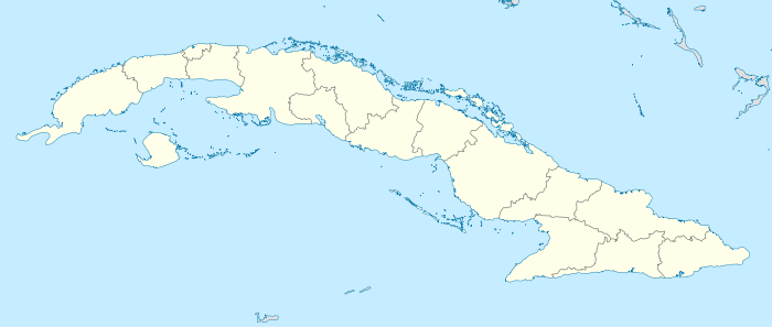 Location of Mata Abajo in Cuba | |
| Coordinates: 20°02′00″N 75°13′00″W / 20.03333°N 75.21667°WCoordinates: 20°02′00″N 75°13′00″W / 20.03333°N 75.21667°W | |
| Country |
|
| Province | Guantánamo |
| Municipality | Caimanera |
| Time zone | EST (UTC-5) |
| Area code(s) | +53-21 |
Mata Abajo is a settlement in Cuba near Guantánamo Bay, located in the municipality of Caimanera, near the borders with Guantánamo. Its name, in Spanish, means "Plant Below".
See also
References
This article is issued from Wikipedia - version of the 12/22/2013. The text is available under the Creative Commons Attribution/Share Alike but additional terms may apply for the media files.