Little Pendulum Island
"Pendulum Islands" redirects here. For the other island of the group, see Sabine Island.
| Native name: <span class="nickname" ">Lille Pedulum Ø | |
|---|---|
 Little Pendulum Island | |
| Geography | |
| Location | Greenland Sea, Eastern Greenland |
| Coordinates | 74°40′N 18°28′W / 74.667°N 18.467°WCoordinates: 74°40′N 18°28′W / 74.667°N 18.467°W |
| Archipelago | Pendulum Islands |
| Total islands | 3 |
| Major islands | Sabine Island, Little Pendulum |
| Area | 57.8 km2 (22.3 sq mi) |
| Highest elevation | 602 m (1,975 ft) |
| Administration | |
|
Greenland | |
| Demographics | |
| Population | 0 |
Little Pendulum Island (Danish: Lille Pedulum Ø) is an island in Eastern Greenland, in the Northeast Greenland National Park.
History
The island was named by Douglas Charles Clavering’s 1823 expedition, during which the Irish scientist Edward Sabine swung the pendulum on the largest of the islands (Sabine Island).[1]
Geography
Little Pendulum Island is located to the north east of Wollaston Foreland, and to the south of Shannon Island.[2] Together with Sabine Island (formerly Inner Pendulum Island) and an islet named Walrus Island (Danish: Hvalros Ø) south of Sabine,[3] it constitutes the Pendulum Islands.
 19th-century map of the Pendulum Islands. 2nd German Polar Expedition 1869-70. |
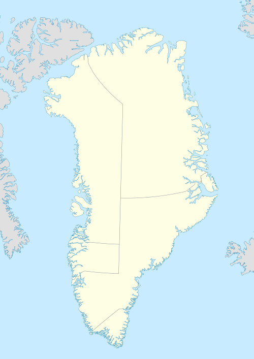
 Location of Little Pendulum Island off the eastern coast of Greenland |
See also
References
This article is issued from Wikipedia - version of the 11/17/2016. The text is available under the Creative Commons Attribution/Share Alike but additional terms may apply for the media files.